File:Albula Road.jpg

Size of this preview: 800 × 410 pixels. Other resolutions: 320 × 164 pixels | 640 × 328 pixels | 1,024 × 525 pixels | 1,280 × 656 pixels | 2,560 × 1,312 pixels | 4,608 × 2,362 pixels.
Original file (4,608 × 2,362 pixels, file size: 5.24 MB, MIME type: image/jpeg)
Captions
Captions
Add a one-line explanation of what this file represents
Summary
edit
| Description |
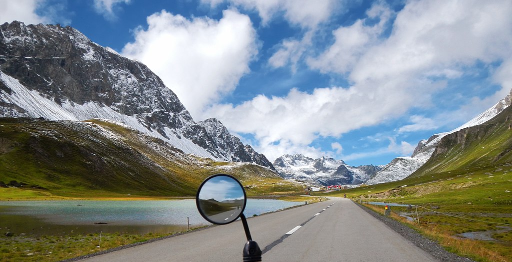
English: Approaching the summit of Albula Pass, Switzerland. |
| Date | |
| Source | https://www.flickr.com/photos/65363769@N08/9825458215 |
| Author |
|
| Camera location | | View this and other nearby images on: OpenStreetMap |
|---|
Licensing
edit
| This image, originally posted to Flickr, was reviewed on 21 February 2021 by the administrator or reviewer Leoboudv, who confirmed that it was available on Flickr under the stated license on that date. |
This file is licensed under the Creative Commons Attribution 2.0 Generic license.
- You are free:
- to share – to copy, distribute and transmit the work
- to remix – to adapt the work
- Under the following conditions:
- attribution – You must give appropriate credit, provide a link to the license, and indicate if changes were made. You may do so in any reasonable manner, but not in any way that suggests the licensor endorses you or your use.
| Annotations | This image is annotated: View the annotations at Commons |
File history
Click on a date/time to view the file as it appeared at that time.
| Date/Time | Thumbnail | Dimensions | User | Comment | |
|---|---|---|---|---|---|
| current | 21:54, 20 February 2021 | | 4,608 × 2,362 (5.24 MB) | Zacharie Grossen (talk | contribs) | Uploaded a work by [https://www.flickr.com/photos/65363769@N08/ albularider] from [https://www.flickr.com/photos/65363769@N08/9825458215 Flickr] with UploadWizard |
You cannot overwrite this file.
File usage on Commons
There are no pages that use this file.
File usage on other wikis
The following other wikis use this file:
- Usage on en.wikipedia.org
- Usage on ko.wikipedia.org
- Usage on tr.wikipedia.org