File:Alpes-Maritimes department relief location map.jpg
Size of this preview: 523 × 599 pixels. Other resolutions: 209 × 240 pixels | 419 × 480 pixels | 822 × 942 pixels.
Original file (822 × 942 pixels, file size: 414 KB, MIME type: image/jpeg)
Captions
Captions
Add a one-line explanation of what this file represents
Summary edit
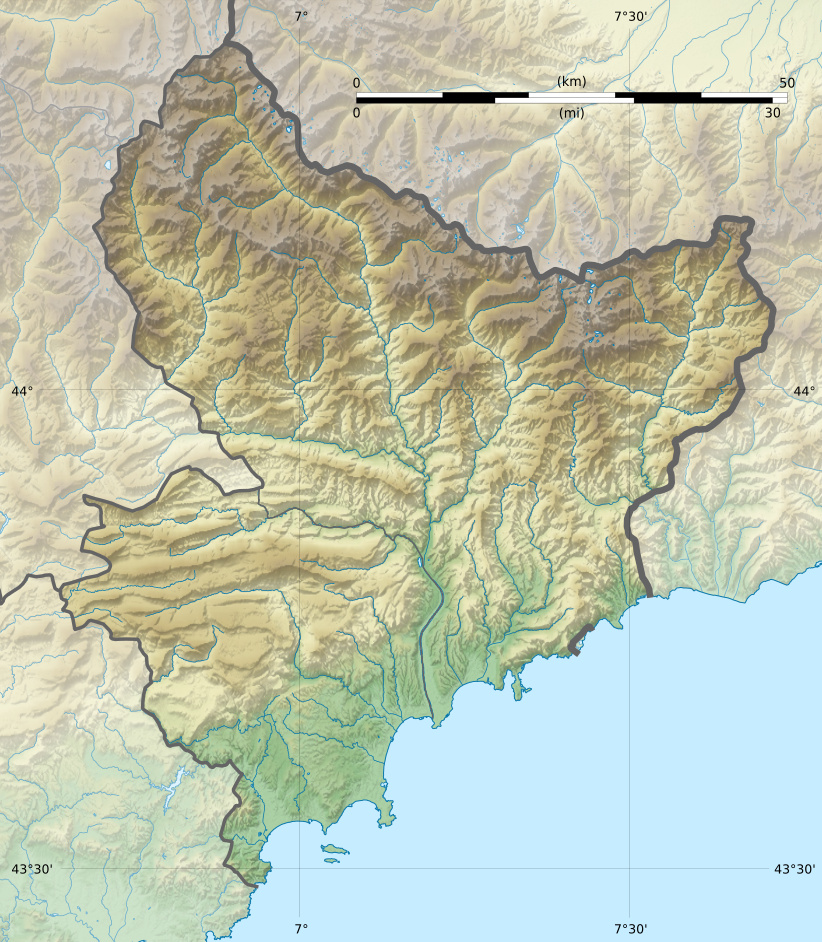
| Description |
Français : Carte physique vierge du département des Alpes-Maritimes, France, destinée à la géolocalisation. Projection "Géoportail" (projection équirectangulaire à la latitude de référence 46.5° Nord)
|
| Date | |
| Source |
Own work
|
| Author | Flappiefh |
| Other versions |
|

Licensing edit
I, the copyright holder of this work, hereby publish it under the following license:
This file is licensed under the Creative Commons Attribution-Share Alike 4.0 International license.
- You are free:
- to share – to copy, distribute and transmit the work
- to remix – to adapt the work
- Under the following conditions:
- attribution – You must give appropriate credit, provide a link to the license, and indicate if changes were made. You may do so in any reasonable manner, but not in any way that suggests the licensor endorses you or your use.
- share alike – If you remix, transform, or build upon the material, you must distribute your contributions under the same or compatible license as the original.
File history
Click on a date/time to view the file as it appeared at that time.
| Date/Time | Thumbnail | Dimensions | User | Comment | |
|---|---|---|---|---|---|
| current | 14:11, 17 May 2015 | | 822 × 942 (414 KB) | Flappiefh (talk | contribs) | User created page with UploadWizard |
You cannot overwrite this file.
File usage on Commons
The following 2 pages use this file:
File usage on other wikis
The following other wikis use this file:
- Usage on als.wikipedia.org
- Usage on de.wikipedia.org
- Département Alpes-Maritimes
- Îles de Lérins
- Col de Braus
- Col d’Andrion
- Île Saint-Honorat
- Saint-Ferréol (Insel)
- Île Saint de la Tradeliere
- Sainte-Marguerite (Insel)
- Col de Turini
- Col de la Lombarde
- Monte Saccarello
- Punta Marguareis
- Mont Agel
- Vorlage:Positionskarte Frankreich Alpes-Maritimes
- Col de Vence
- Col de la Couillole
- Cime de la Bonette
- Col Saint Martin
- Usage on eo.wikipedia.org
- Cannes
- Aspremont
- Cagnes-sur-Mer
- Le Cannet
- Grasse
- Vence
- Mougins
- Tende
- Vallauris
- Châteauneuf-Grasse
- Castillon (Alpes-Maritimes)
- Roquebrune-Cap-Martin
- Ŝablono:Situo sur mapo Francio Alpes-Maritimes
- Sauze
- Aiglun (Marbordaj Alpoj)
- Amirat
- Auvare
- Auribeau-sur-Siagne
- Ascros
- Bairols
- Le Bar-sur-Loup
- Beaulieu-sur-Mer
- Beausoleil
- Belvédère
- Bendejun
- Berre-les-Alpes
- Beuil
- Bézaudun-les-Alpes
- Biot
- Blausasc
- La Bollène-Vésubie
View more global usage of this file.