File:Alt-Karow-um-1870-Straßen.png
Size of this preview: 772 × 600 pixels. Other resolutions: 309 × 240 pixels | 618 × 480 pixels | 988 × 768 pixels | 1,280 × 995 pixels | 1,400 × 1,088 pixels.
Original file (1,400 × 1,088 pixels, file size: 133 KB, MIME type: image/png)
Captions
Captions
Add a one-line explanation of what this file represents
Summary edit
| Description |
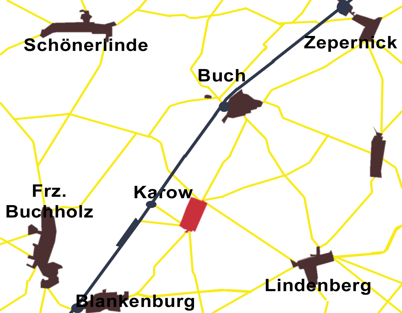
Deutsch: Das Straßennetz in der Umgebung von Karow (heute Ortsteil Karow im Bezirk Pankow von Berlin) um das Jahr 1880, nach einer Karte gezeichnet = Karte des Landes zunächst Berlin, Verlag der Königlich Preußischen Landes-Aufnahme, Preußischer Generalstab 1871 mit Nachträgen. |
| Date | |
| Source | Own work |
| Author | Boonekamp |
| Camera location | | View this and other nearby images on: OpenStreetMap |
|---|
Licensing edit
I, the copyright holder of this work, hereby publish it under the following license:
| This file is made available under the Creative Commons CC0 1.0 Universal Public Domain Dedication. | |
| The person who associated a work with this deed has dedicated the work to the public domain by waiving all of their rights to the work worldwide under copyright law, including all related and neighboring rights, to the extent allowed by law. You can copy, modify, distribute and perform the work, even for commercial purposes, all without asking permission.
|
File history
Click on a date/time to view the file as it appeared at that time.
| Date/Time | Thumbnail | Dimensions | User | Comment | |
|---|---|---|---|---|---|
| current | 19:05, 16 April 2012 | | 1,400 × 1,088 (133 KB) | Boonekamp (talk | contribs) | {{Information |Description ={{de|1=Das Straßennetz in der Umgebung von Karow (heute Ortsteil Karow im Bezirk Pankow von Berlin) um das Jahr 1880, nach einer Karte gezeichnet = Karte des Landes zunächst Berlin, Verlag der Königlich Preußischen La... |
You cannot overwrite this file.
File usage on Commons
There are no pages that use this file.
File usage on other wikis
The following other wikis use this file:
- Usage on de.wikipedia.org