File:Ambassador city jomtien - panoramio.jpg

Size of this preview: 800 × 600 pixels. Other resolutions: 320 × 240 pixels | 640 × 480 pixels | 1,024 × 768 pixels | 1,280 × 960 pixels | 2,560 × 1,920 pixels | 4,128 × 3,096 pixels.
Original file (4,128 × 3,096 pixels, file size: 4.47 MB, MIME type: image/jpeg)
Captions
Captions
Add a one-line explanation of what this file represents
Summary
edit
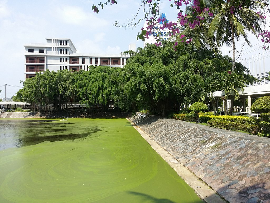
| Description | ambassador city jomtien | ||
| Date | Taken on 11 November 2014 | ||
| Source | https://web.archive.org/web/20161031171126/http://www.panoramio.com/photo/127064897 | ||
| Author | Yellow man | ||
| Permission (Reusing this file) |
This file is licensed under the Creative Commons Attribution 3.0 Unported license. Attribution: Yellow man
|
| Camera location | | View this and other nearby images on: OpenStreetMap |
|---|
File history
Click on a date/time to view the file as it appeared at that time.
| Date/Time | Thumbnail | Dimensions | User | Comment | |
|---|---|---|---|---|---|
| current | 07:09, 21 June 2017 | | 4,128 × 3,096 (4.47 MB) | Panoramio upload bot (talk | contribs) | == {{int:filedesc}} == {{Information |description=ambassador city jomtien |date={{Taken on|2014-11-11}} |source=http://www.panoramio.com/photo/127064897 |author=[http://www.panoramio.com/user/8982928?with_photo_id=127064897 Yellow man] |permission={{cc... |
You cannot overwrite this file.
File usage on Commons
There are no pages that use this file.
File usage on other wikis
The following other wikis use this file:
- Usage on en.wikipedia.org
- Usage on th.wikipedia.org
- Usage on vi.wikipedia.org