File:America location map with borders.svg

Size of this PNG preview of this SVG file: 400 × 350 pixels. Other resolutions: 274 × 240 pixels | 549 × 480 pixels | 878 × 768 pixels | 1,170 × 1,024 pixels | 2,341 × 2,048 pixels.
Original file (SVG file, nominally 400 × 350 pixels, file size: 173 KB)
Captions
Captions
Add a one-line explanation of what this file represents
Summary
edit
| Description |
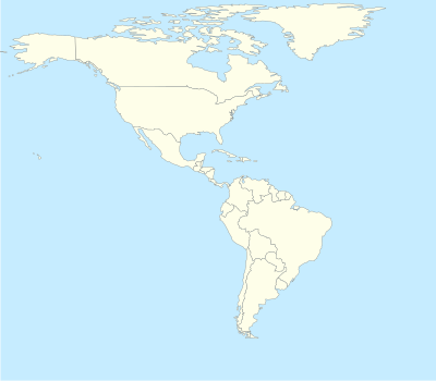
English: Location map for the Americas with national borders |
| Date |
(UTC) |
| Source |
Transferred from en.wikipedia |
| Author |
Phósphoros (talk) 17:36, 16 September 2010 (UTC). Original uploader was Phósphoros at en.wikipedia |
| Permission (Reusing this file) |
Released under the GNU Free Documentation License. |
Licensing
edit

|
Permission is granted to copy, distribute and/or modify this document under the terms of the GNU Free Documentation License, Version 1.2 or any later version published by the Free Software Foundation; with no Invariant Sections, no Front-Cover Texts, and no Back-Cover Texts. A copy of the license is included in the section entitled GNU Free Documentation License. |
Original upload log
edit
The original description page was here. All following user names refer to en.wikipedia.
- 2010-09-16 17:36 Phósphoros 400×350× (177397 bytes) {{Information |Description = Location map for America |Source = Modified for [[World Location map.svg]] |Date = ~~~~~ |Author = ~~~~ |Permission = |other_versions = }}
File history
Click on a date/time to view the file as it appeared at that time.
| Date/Time | Thumbnail | Dimensions | User | Comment | |
|---|---|---|---|---|---|
| current | 10:18, 18 September 2010 | | 400 × 350 (173 KB) | Obersachse (talk | contribs) | {{Information |Description={{en|Location map for America}} |Source=Transferred from [http://en.wikipedia.org en.wikipedia]<br/> (Original text : ''Modified for en:World Location map.svg'') |Date=17:36, 16 September 2010 (UTC)<br/> ({{Date|2010|09|16 |
You cannot overwrite this file.
File usage on Commons
The following 2 pages use this file:
File usage on other wikis
The following other wikis use this file:
- Usage on az.wikipedia.org
- Usage on ba.wikipedia.org
- Usage on da.wikipedia.org
- Usage on de.wikipedia.org
- Usage on fa.wikipedia.org
- Usage on it.wikipedia.org
- Cucina messicana
- Cucina argentina
- Cucina brasiliana
- Cucina cubana
- Cucina haitiana
- Cucina peruviana
- Cucina canadese
- Cucina statunitense
- Cucina groenlandese
- Cucina venezuelana
- Cucina colombiana
- Cucina di Barbados
- Cucina ecuadoriana
- Cucina costaricana
- Cucina uruguaiana
- Cucina giamaicana
- Cucina di Trinidad e Tobago
- Cucina cilena
- Template:Cucina americana
- Cucina boliviana
- Cucina bahamense
- Cucina beliziana
- Cucina paraguaiana
- Cucina guatemalteca
- Cucina nicaraguense
- Cucina di Antigua e Barbuda
- Usage on ko.wikipedia.org
- Usage on ru.wikipedia.org
- Usage on sq.wikipedia.org