File:Amsterdam, Oostelijk Havengebied (1922).jpg

Size of this preview: 800 × 425 pixels. Other resolutions: 320 × 170 pixels | 640 × 340 pixels | 1,200 × 638 pixels.
Original file (1,200 × 638 pixels, file size: 342 KB, MIME type: image/jpeg)
Captions
Captions
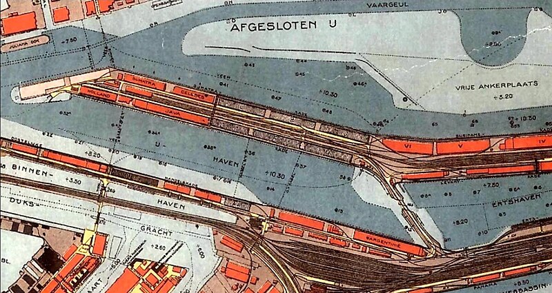
Old map of the Eastern Docklands port area in Amsterdam, the Netherlands.
Summary
edit.jpg&action=edit§ion=1)
| Description |
Nederlands: Plattegrond uit 1922 van het Oostelijk Havengebied in Amsterdam. |
| Date | |
| Source | https://www.amsterdamhv.nl/wiki/javaeiland.html |
| Author | unknown cartographer |
Licensing
edit.jpg&action=edit§ion=2)
|
This work is in the public domain in its country of origin and other countries and areas where the copyright term is the author's life plus 70 years or fewer. This work is in the public domain in the United States because it was published (or registered with the U.S. Copyright Office) before January 1, 1929. | |
| This file has been identified as being free of known restrictions under copyright law, including all related and neighboring rights. | |
File history
Click on a date/time to view the file as it appeared at that time.
| Date/Time | Thumbnail | Dimensions | User | Comment | |
|---|---|---|---|---|---|
| current | 15:01, 23 June 2023 | | 1,200 × 638 (342 KB) | Kleon3 (talk | contribs) | Uploaded a work by unknown cartographer from https://www.amsterdamhv.nl/wiki/javaeiland.html with UploadWizard |
You cannot overwrite this file.
File usage on Commons
There are no pages that use this file.
.jpg&oldid=790910249)