File:An NTIR sign at Fort Payne Cabin Historic Site in Fort Payne, Alabama (26fdfa4f-69f2-44ae-9cf8-a5ee19971b72).JPG

Size of this preview: 800 × 600 pixels. Other resolutions: 320 × 240 pixels | 640 × 480 pixels | 1,024 × 768 pixels | 1,280 × 960 pixels | 2,560 × 1,920 pixels | 4,224 × 3,168 pixels.
Original file (4,224 × 3,168 pixels, file size: 3 MB, MIME type: image/jpeg)
Captions
Captions
Add a one-line explanation of what this file represents

|
The categories of this image need checking. You can do so here.
|
.JPG&action=edit&withJS=MediaWiki:Catcheck.js)
Summary
edit.JPG&action=edit§ion=1)
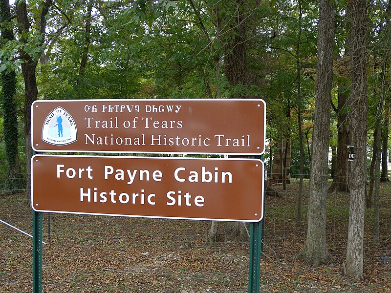
| English: An NTIR sign at Fort Payne Cabin Historic Site in Fort Payne, Alabama | ||||
|---|---|---|---|---|
| Photographer |
English: National Trails Office (US National Park Service) |
|||
| Title |
English: An NTIR sign at Fort Payne Cabin Historic Site in Fort Payne, Alabama |
|||
| Publisher |
English: U.S. National Park Service |
|||
| Description |
English: An NTIR sign at Fort Payne Cabin Historic Site in Fort Payne, Alabama An NTIR sign at Fort Payne Cabin Historic Site in Fort Payne, Alabama; https://www.nps.gov/places/fort-payne-cabin-site.htm
|
|||
| Depicted place |
English: AL ; DeKalb County ; Fort Payne ; Fort Payne Cabin Historic Site; Latitude: 34.4381216666999, Longitude: -85.7240733332999; Trail of Tears National Historic Trail |
|||
| Date | Taken on 11 October 2012 | |||
| Accession number | ||||
| Source |
English: NPGallery |
|||
| Permission (Reusing this file) |
|
|||
| Contacts | English: Organization: US National Park Service Address: PO Box 728, Santa Fe, New Mexico 87504, Phone:(505) 988-6098 Email: ntir_information@NPS.gov |
|||
| NPS Unit Code | TRTE | |||
File history
Click on a date/time to view the file as it appeared at that time.
| Date/Time | Thumbnail | Dimensions | User | Comment | |
|---|---|---|---|---|---|
| current | 03:59, 22 June 2023 | | 4,224 × 3,168 (3 MB) | BMacZeroBot (talk | contribs) | Batch upload (Commons:Batch uploading/NPGallery) |
You cannot overwrite this file.
File usage on Commons
The following page uses this file:
.JPG)
.JPG&oldid=868188285)