File:Ancient Carthage area map in 1840s.png

Size of this preview: 797 × 600 pixels. Other resolutions: 319 × 240 pixels | 638 × 480 pixels | 1,021 × 768 pixels | 1,280 × 963 pixels | 1,842 × 1,386 pixels.
Original file (1,842 × 1,386 pixels, file size: 1.06 MB, MIME type: image/png)
Captions
Captions
Ancient Carthage area map
Summary edit
| Description |
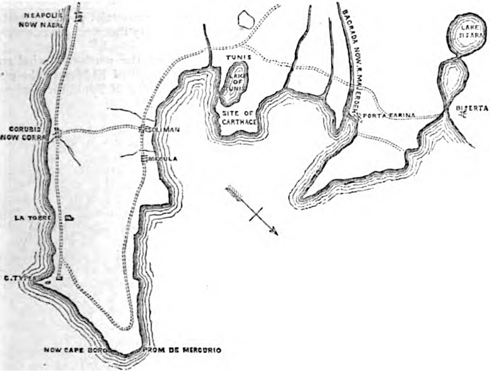
English: Ancient Carthage area map in 1840s
Cresy, E. (1847). An Encyclopædia of Civil Engineering, Historical, Theoretical, and Practical (pp 6). United Kingdom: Longman, Brown, Green, and Longmans, Paternoster-Row. |
| Date | |
| Source | https://www.google.com/books/edition/An_Encyclop%C3%A6dia_of_Civil_Engineering_Hi/MUMOAAAAYAAJ |
| Author | Edward Cresy |
Licensing edit
|
This work is in the public domain in its country of origin and other countries and areas where the copyright term is the author's life plus 70 years or fewer. This work is in the public domain in the United States because it was published (or registered with the U.S. Copyright Office) before January 1, 1929. | |
| This file has been identified as being free of known restrictions under copyright law, including all related and neighboring rights. | |
File history
Click on a date/time to view the file as it appeared at that time.
| Date/Time | Thumbnail | Dimensions | User | Comment | |
|---|---|---|---|---|---|
| current | 03:46, 17 December 2021 | | 1,842 × 1,386 (1.06 MB) | Epolk (talk | contribs) | Uploaded a work by Edward Cresy from https://www.google.com/books/edition/An_Encyclop%C3%A6dia_of_Civil_Engineering_Hi/MUMOAAAAYAAJ with UploadWizard |
You cannot overwrite this file.
File usage on Commons
There are no pages that use this file.