File:Ancient Umbria.png

Original file (871 × 713 pixels, file size: 1.2 MB, MIME type: image/png)
Captions
Captions
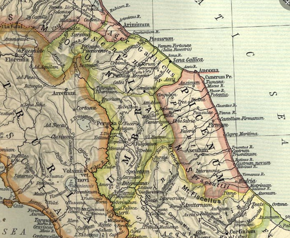
| Description |
English: Umbria from Reference Map of Ancient Italy, Northern Part [1] Historical Atlas by William R. Shepherd, 1911. Courtesy of the University of Texas Libraries, The University of Texas at Austin. From The Historical Atlas by William R. Shepherd, 1911 edition |
| Date | (UTC) |
| Source | |
| Author |
![[1]](http://www.lib.utexas.edu/maps/historical/shepherd_1911/shepherd-c-026-027.jpg)
| This is a retouched picture, which means that it has been digitally altered from its original version. Modifications: crop in Umbria region. The original can be viewed here: Shepherd-c-026-027.jpg:
|
This media file is in the public domain in the United States. This applies to U.S. works where the copyright has expired, often because its first publication occurred prior to January 1, 1929, and if not then due to lack of notice or renewal. See this page for further explanation.
|
 | |
 |
This image might not be in the public domain outside of the United States; this especially applies in the countries and areas that do not apply the rule of the shorter term for US works, such as Canada, Mainland China (not Hong Kong or Macao), Germany, Mexico, and Switzerland. The creator and year of publication are essential information and must be provided. See Wikipedia:Public domain and Wikipedia:Copyrights for more details.
|
|
This work is in the public domain in its country of origin and other countries and areas where the copyright term is the author's life plus 70 years or fewer.
| |
| This file has been identified as being free of known restrictions under copyright law, including all related and neighboring rights. | |
Original upload log
edit
This image is a derivative work of the following images:
- File:Shepherd-c-026-027.jpg licensed with PD-US, PD-old
- 2007-07-01T08:02:18Z Accurimbono 1902x1545 (850741 Bytes) == Summary == Map of Northen Italy during the [[Roman Empire|Roman]] period. Extracted from ''The Historical Atlas'' by William R. Shepherd, [[1911]]. Original image is at http://www.lib.utexas.edu/maps/historical/shepherd_
Uploaded with derivativeFX
File history
Click on a date/time to view the file as it appeared at that time.
| Date/Time | Thumbnail | Dimensions | User | Comment | |
|---|---|---|---|---|---|
| current | 23:26, 22 July 2009 | | 871 × 713 (1.2 MB) | Shooke (talk | contribs) | {{Information |Description={{en|Umbria from Reference Map of Ancient Italy, Northern Part [http://www.lib.utexas.edu/maps/historical/shepherd_1911/shepherd-c-026-027.jpg] Historical Atlas by William R. Shepherd, 1911. Courtesy of the University of Texas L |
You cannot overwrite this file.
File usage on Commons
There are no pages that use this file.
File usage on other wikis
The following other wikis use this file:
- Usage on es.wikipedia.org
- Usage on nl.wikipedia.org