File:Andes Lidar Observatory (IMG-1892-CC).tiff
Size of this JPG preview of this TIF file: 800 × 549 pixels. Other resolutions: 320 × 219 pixels | 640 × 439 pixels | 1,024 × 702 pixels | 1,280 × 878 pixels | 2,560 × 1,756 pixels | 4,032 × 2,765 pixels.
Original file (4,032 × 2,765 pixels, file size: 20 MB, MIME type: image/tiff)
File information
Structured data
Captions
Summary
editDescriptionAndes Lidar Observatory (IMG-1892-CC).tiff |
English: 
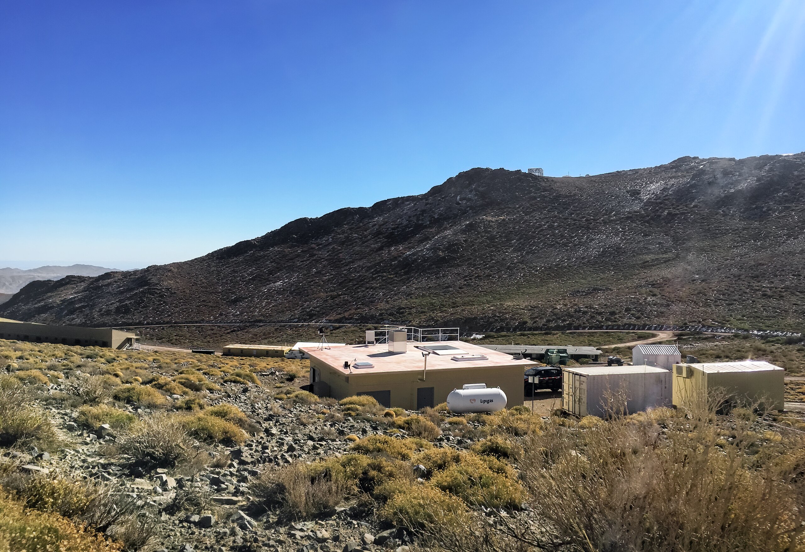
The Andes Lidar Observatory is located on Cerro Pachón in Chile. |
Date | 14 February 2021, 17:24 (upload date) |
Source | Andes Lidar Observatory |
Author | CTIO/NOIRLab/NSF/AURA |
Other versions |
|
Licensing
editThis media was created by the National Optical-Infrared Astronomy Research Laboratory (NOIRLab).
Their website states: "Unless specifically noted, the images, videos, and music distributed on the public NOIRLab website, along with the texts of press releases, announcements, images of the week and captions; are licensed under a Creative Commons Attribution 4.0 International License, and may on a non-exclusive basis be reproduced without fee provided the credit is clear and visible." To the uploader: You must provide a link (URL) to the original file and the authorship information if available. | |
This file is licensed under the Creative Commons Attribution 4.0 International license.
|
File history
Click on a date/time to view the file as it appeared at that time.
Date/Time | Thumbnail | Dimensions | User | Comment | |
---|---|---|---|---|---|
current | 21:27, 12 July 2023 | 4,032 × 2,765 (20 MB) | OptimusPrimeBot (talk | contribs) | #Spacemedia - Upload of https://noirlab.edu/public/media/archives/images/original/IMG-1892-CC.tif via Commons:Spacemedia |
You cannot overwrite this file.
File usage on Commons
The following page uses this file:
Metadata
This file contains additional information such as Exif metadata which may have been added by the digital camera, scanner, or software program used to create or digitize it. If the file has been modified from its original state, some details such as the timestamp may not fully reflect those of the original file. The timestamp is only as accurate as the clock in the camera, and it may be completely wrong.
Camera manufacturer | Apple |
---|---|
Camera model | iPhone 6s Plus |
Exposure time | 1/2,137 sec (0.00046794571829668) |
F-number | f/2.2 |
ISO speed rating | 25 |
Date and time of data generation | 14:29, 2 July 2019 |
Lens focal length | 4.15 mm |
Latitude | 30° 15′ 6.6″ S |
Longitude | 70° 44′ 16.2″ W |
Altitude | 2,518.71 meters above sea level |
Width | 4,032 px |
Height | 2,765 px |
Bits per component |
|
Compression scheme | LZW |
Pixel composition | RGB |
Orientation | Normal |
Number of components | 3 |
Number of rows per strip | 21 |
Horizontal resolution | 72 dpi |
Vertical resolution | 72 dpi |
Data arrangement | chunky format |
Software used | Adobe Photoshop 21.1 (Windows) |
File change date and time | 02:35, 8 February 2021 |
Exposure Program | Normal program |
Exif version | 2.21 |
Date and time of digitizing | 14:29, 2 July 2019 |
Meaning of each component |
|
APEX shutter speed | 11.061203844208 |
APEX aperture | 2.2750070475475 |
APEX brightness | 11.009394876583 |
APEX exposure bias | 0 |
Metering mode | Pattern |
Flash | Flash did not fire, auto mode |
DateTimeOriginal subseconds | 741 |
Supported Flashpix version | 1 |
Color space | sRGB |
Sensing method | One-chip color area sensor |
Scene type | A directly photographed image |
Exposure mode | Auto exposure |
White balance | Auto white balance |
Focal length in 35 mm film | 29 mm |
Scene capture type | Standard |
GPS time (atomic clock) | 18:29:15.99 |
Speed unit | Kilometers per hour |
Speed of GPS receiver | 0 |
Reference for direction of image | Magnetic direction |
Direction of image | 292.17915345073 |
Reference for bearing of destination | Magnetic direction |
Bearing of destination | 292.17915345073 |
GPS date | 2 July 2019 |