File:Anegada 64.35314W 18.72191N.png

Size of this preview: 800 × 493 pixels. Other resolutions: 320 × 197 pixels | 640 × 394 pixels | 990 × 610 pixels.
Original file (990 × 610 pixels, file size: 970 KB, MIME type: image/png)
Captions
Captions
Add a one-line explanation of what this file represents
| Description |
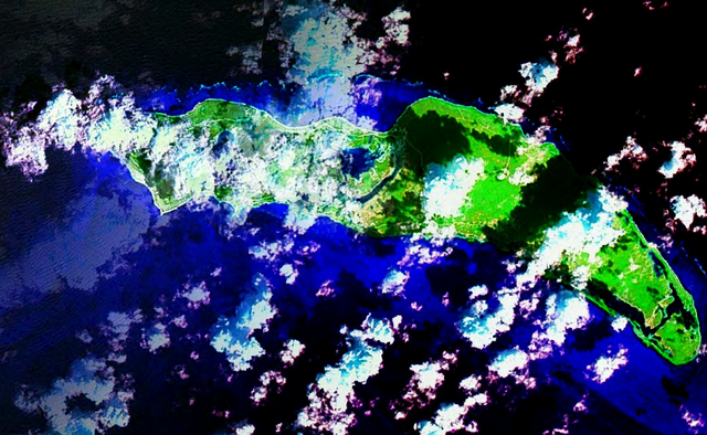
English: Anegada Island |
|||
| Date | ||||
| Source | NASA WorldWind | |||
| Author | WorldWind | |||
| Permission (Reusing this file) |
|

File history
Click on a date/time to view the file as it appeared at that time.
| Date/Time | Thumbnail | Dimensions | User | Comment | |
|---|---|---|---|---|---|
| current | 22:48, 10 March 2009 | | 990 × 610 (970 KB) | Pauk (talk | contribs) | {{Information |Description={{en|1=Anegada Island}} |Source=NASA WorldWind |Author=WorldWind |Date=2009-03-10 |Permission={{PD-WorldWind}} |other_versions= }} <!--{{ImageUpload|full}}--> Category:Anegada |
You cannot overwrite this file.
File usage on Commons
There are no pages that use this file.