File:Anoldka-odval v lomu Cerinka-II-02-2019-vysoky ujezd-dron.jpg

Size of this preview: 800 × 599 pixels. Other resolutions: 320 × 240 pixels | 640 × 479 pixels | 1,024 × 767 pixels | 1,280 × 959 pixels | 2,560 × 1,917 pixels | 4,048 × 3,032 pixels.
Original file (4,048 × 3,032 pixels, file size: 8.81 MB, MIME type: image/jpeg)
Captions
Captions
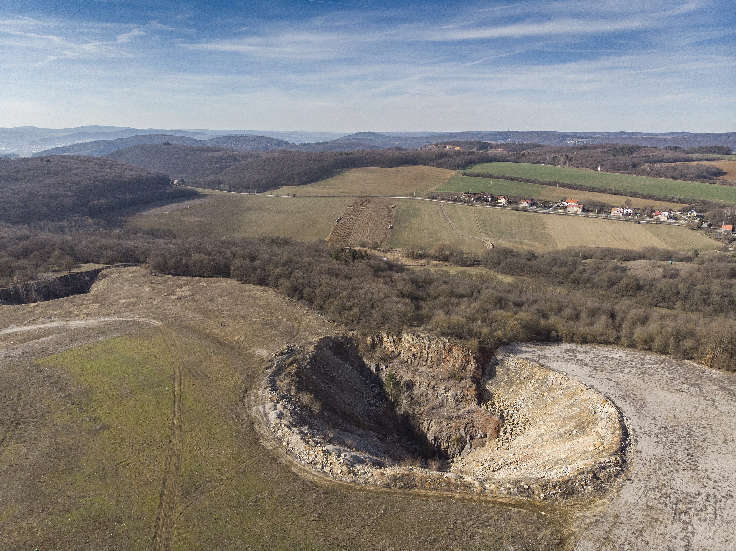
Čeřinka quarry outcrop with entrances to the Arnoldka Cave in the Bohemian Karst - drone shot.
Summary
edit
| Description |
English: Čeřinka quarry outcrop with entrances to the Arnoldka Cave in the Bohemian Karst - drone shot.
Čeština: Odkryv v lomu Čeřinka se vstupy do jeskyně Arnoldka v Českém krasu - snímek z dronu. |
| Date | |
| Source | Own work |
| Author | The photonaut |
| Camera location | | View this and other nearby images on: OpenStreetMap |
|---|
Licensing
edit
I, the copyright holder of this work, hereby publish it under the following license:
This file is licensed under the Creative Commons Attribution-Share Alike 4.0 International license.
- You are free:
- to share – to copy, distribute and transmit the work
- to remix – to adapt the work
- Under the following conditions:
- attribution – You must give appropriate credit, provide a link to the license, and indicate if changes were made. You may do so in any reasonable manner, but not in any way that suggests the licensor endorses you or your use.
- share alike – If you remix, transform, or build upon the material, you must distribute your contributions under the same or compatible license as the original.
File history
Click on a date/time to view the file as it appeared at that time.
| Date/Time | Thumbnail | Dimensions | User | Comment | |
|---|---|---|---|---|---|
| current | 14:03, 1 October 2019 | | 4,048 × 3,032 (8.81 MB) | The photonaut (talk | contribs) | User created page with UploadWizard |
You cannot overwrite this file.
File usage on Commons
There are no pages that use this file.