File:Anse la Raye fused copy.jpg
Size of this preview: 800 × 344 pixels. Other resolutions: 320 × 138 pixels | 640 × 275 pixels | 1,024 × 441 pixels | 2,150 × 925 pixels.
Original file (2,150 × 925 pixels, file size: 888 KB, MIME type: image/jpeg)
Captions
Captions
Add a one-line explanation of what this file represents
Summary edit
| Description |
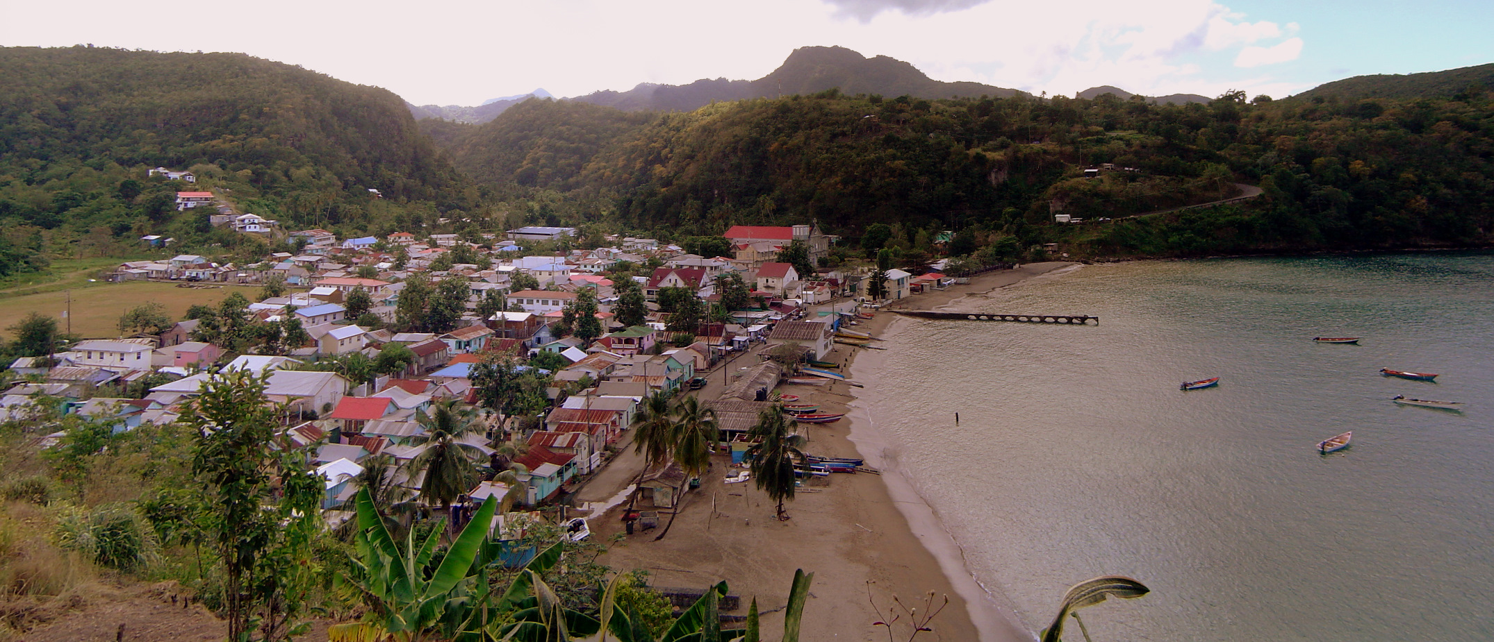
English: Photograph of Anse la Raye, St Lucia |
| Source | Own work |
| Author | Mjr74 |
| Camera location | | View this and other nearby images on: OpenStreetMap |
|---|
Anse la Raye, St Lucia
Licensing edit
| I, the copyright holder of this work, release this work into the public domain. This applies worldwide. In some countries this may not be legally possible; if so: I grant anyone the right to use this work for any purpose, without any conditions, unless such conditions are required by law. |
File history
Click on a date/time to view the file as it appeared at that time.
| Date/Time | Thumbnail | Dimensions | User | Comment | |
|---|---|---|---|---|---|
| current | 03:41, 18 January 2011 | | 2,150 × 925 (888 KB) | Antur (talk | contribs) | Reverted to version as of 11:38, 15 April 2010 |
| 03:38, 18 January 2011 |  | 800 × 344 (93 KB) | Antur (talk | contribs) | {{Information |Description= Anse La Raye, St. Lucia |Source=http://en.wikipedia.org/wiki/File:Anse_la_Raye_fused_copy.jpg |Date=15 April 2010 |Author=Mjr74 |Permission={{PD-user-w|w:en|English Wikipedia|Mjr74 }} |other_versions= }} [[Category:Saint Lucia] | |
| 11:38, 15 April 2010 |  | 2,150 × 925 (888 KB) | Mjr74 (talk | contribs) | {{Information |Description={{en|1=Photograph of Anse la Raye, St Lucia}} |Source={{own}} |Author=Mjr74 |Date= |Permission= |other_versions= }} Anse la Raye, St Lucia Category:Geography of Saint Lucia [[Category:Anse la Raye, Saint Lucia |
You cannot overwrite this file.
File usage on Commons
The following 2 pages use this file:
File usage on other wikis
The following other wikis use this file:
- Usage on ceb.wikipedia.org
- Usage on de.wikipedia.org
- Usage on el.wikipedia.org
- Usage on eo.wikipedia.org
- Usage on es.wikipedia.org
- Usage on eu.wikipedia.org
- Usage on fa.wikipedia.org
- Usage on fr.wikipedia.org
- Usage on id.wikipedia.org
- Usage on it.wikipedia.org
- Usage on ko.wikipedia.org
- Usage on mk.wikipedia.org
- Usage on mt.wikipedia.org
- Usage on pl.wikipedia.org
- Usage on ru.wikipedia.org
- Usage on sv.wikipedia.org
- Usage on tr.wikipedia.org
- Usage on ur.wikipedia.org
- Usage on vi.wikipedia.org
- Usage on www.wikidata.org
- Usage on zh.wikipedia.org