File:Approaching San Tomaso along strada agro-silvo-forestale per San Tomaso.jpg

Size of this preview: 800 × 558 pixels. Other resolutions: 320 × 223 pixels | 640 × 446 pixels | 1,024 × 714 pixels | 1,280 × 893 pixels | 2,560 × 1,785 pixels | 3,215 × 2,242 pixels.
Original file (3,215 × 2,242 pixels, file size: 5.07 MB, MIME type: image/jpeg)
Captions
Captions
Add a one-line explanation of what this file represents
Summary
edit| Description |
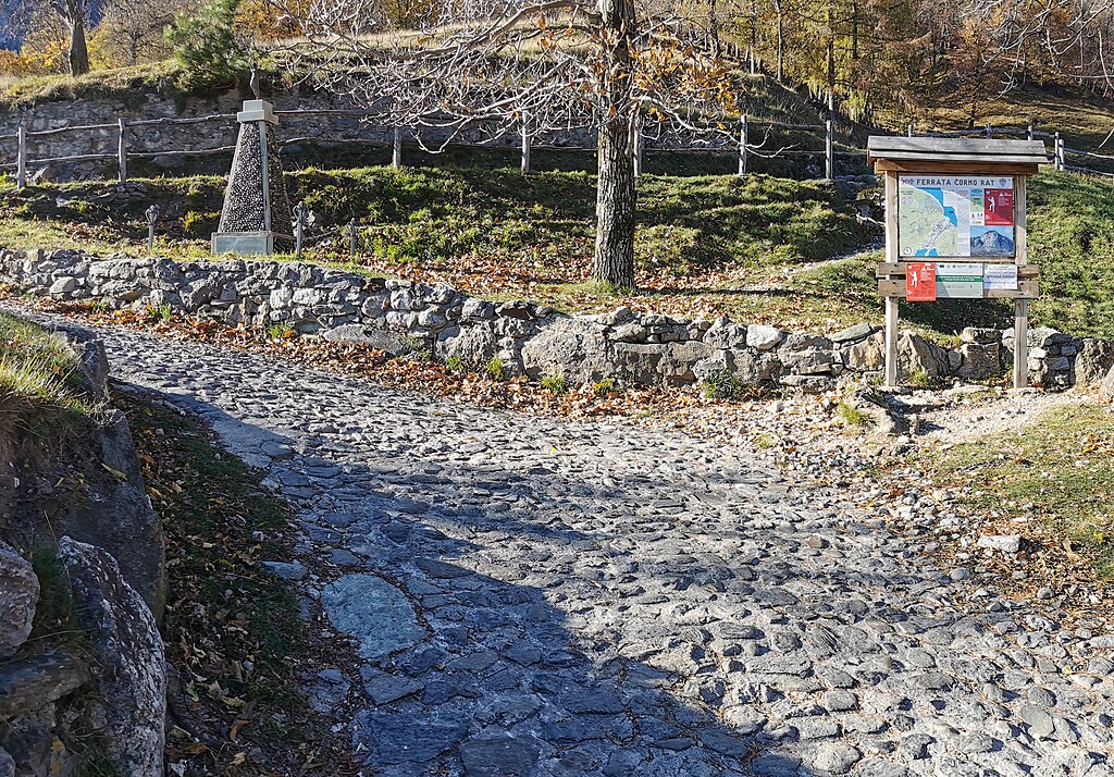
Italiano: All'arrivo alla località San Tomaso, lungo la strada agro-silvo-forestale dalla frazione Belvedere, si passa di fianco a un monumento ai caduti (in foto in alto a sinistra) |
||
| Date | |||
| Source |
Own work
|
||
| Author | Kaitu |

| Camera location | | View this and other nearby images on: OpenStreetMap |
|---|
This image was created with Hugin.
Licensing
editI, the copyright holder of this work, hereby publish it under the following license:
This file is licensed under the Creative Commons Attribution 4.0 International license.
- You are free:
- to share – to copy, distribute and transmit the work
- to remix – to adapt the work
- Under the following conditions:
- attribution – You must give appropriate credit, provide a link to the license, and indicate if changes were made. You may do so in any reasonable manner, but not in any way that suggests the licensor endorses you or your use.
| Annotations | This image is annotated: View the annotations at Commons |
.jpg)
.jpg)
File history
Click on a date/time to view the file as it appeared at that time.
| Date/Time | Thumbnail | Dimensions | User | Comment | |
|---|---|---|---|---|---|
| current | 10:03, 29 November 2023 | | 3,215 × 2,242 (5.07 MB) | Kaitu (talk | contribs) | Uploaded own work with UploadWizard |
You cannot overwrite this file.
File usage on Commons
There are no pages that use this file.