File:April 1967 VIEW UNDER COVERED WAY BETWEEN GUEST HOUSE AND VENETIAN ROOM ATOP PORTE-COCHERE - Mar-a-Lago, 1100 South Ocean Boulevard, Palm Beach, Palm Beach County, FL HABS FLA,50-PALM,1-64.tif
Size of this JPG preview of this TIF file: 431 × 600 pixels. Other resolutions: 172 × 240 pixels | 345 × 480 pixels | 552 × 768 pixels | 736 × 1,024 pixels | 1,471 × 2,048 pixels | 3,592 × 5,000 pixels.
Original file (3,592 × 5,000 pixels, file size: 17.13 MB, MIME type: image/tiff)
Captions
Captions
Add a one-line explanation of what this file represents
Summary edit
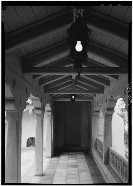
| April 1967 VIEW UNDER COVERED WAY BETWEEN GUEST HOUSE AND VENETIAN ROOM ATOP PORTE-COCHERE - Mar-a-Lago, 1100 South Ocean Boulevard, Palm Beach, Palm Beach County, FL | ||||
|---|---|---|---|---|
| Photographer |
Boucher, Jack E. Related names:
|
|||
| Title |
April 1967 VIEW UNDER COVERED WAY BETWEEN GUEST HOUSE AND VENETIAN ROOM ATOP PORTE-COCHERE - Mar-a-Lago, 1100 South Ocean Boulevard, Palm Beach, Palm Beach County, FL |
|||
| Depicted place | Florida; Palm Beach County; Palm Beach | |||
| Date | Documentation compiled after 1933 | |||
| Dimensions | 5 x 7 in. | |||
| Current location |
Library of Congress Prints and Photographs Division Washington, D.C. 20540 USA http://hdl.loc.gov/loc.pnp/pp.print |
|||
| Accession number |
HABS FLA,50-PALM,1-64 |
|||
| Credit line |
|
|||
| Notes |
|
|||
| References |
|
|||
| Source | https://www.loc.gov/pictures/item/fl0181.photos.053299p | |||
| Permission (Reusing this file) |
|
|||

| Object location | | View this and other nearby images on: OpenStreetMap |
|---|
File history
Click on a date/time to view the file as it appeared at that time.
| Date/Time | Thumbnail | Dimensions | User | Comment | |
|---|---|---|---|---|---|
| current | 15:22, 11 July 2014 |  | 3,592 × 5,000 (17.13 MB) | Fæ (talk | contribs) | GWToolset: Creating mediafile for Fæ. HABS 09 July 2014 (801:1000) |
You cannot overwrite this file.
File usage on Commons
The following page uses this file: