File:Aqmola districts numbered kz.png
No higher resolution available.
Aqmola_districts_numbered_kz.png (800 × 529 pixels, file size: 102 KB, MIME type: image/png)
Captions
Captions
Add a one-line explanation of what this file represents
Summary edit
| Description |
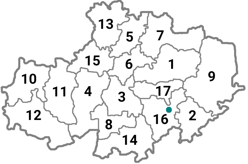
English: Map of the districts of Aqmola Province in Kazakhstan with numbers
Русский: Карта районов Акмолинской области (Казахстан) с номерами
Українська: Карта районів Акмолинської області (Казахстан) з номерами
Қазақша: Қазақстандағы Ақмола облысының аудандарының нөмірленген картасы |
| Date | |
| Source | File:Aqmola_districts_empty.png |
| Author |
|
Licensing edit
This file is licensed under the Creative Commons Attribution-Share Alike 4.0 International license.
- You are free:
- to share – to copy, distribute and transmit the work
- to remix – to adapt the work
- Under the following conditions:
- attribution – You must give appropriate credit, provide a link to the license, and indicate if changes were made. You may do so in any reasonable manner, but not in any way that suggests the licensor endorses you or your use.
- share alike – If you remix, transform, or build upon the material, you must distribute your contributions under the same or compatible license as the original.
File history
Click on a date/time to view the file as it appeared at that time.
| Date/Time | Thumbnail | Dimensions | User | Comment | |
|---|---|---|---|---|---|
| current | 13:20, 9 September 2022 | | 800 × 529 (102 KB) | Casserium (talk | contribs) | |
| 12:58, 9 September 2022 |  | 800 × 529 (102 KB) | Casserium (talk | contribs) | Uploaded a work by Anatoliy Goncharov from https://commons.m.wikimedia.org/wiki/File:Aqmola_districts_empty.png with UploadWizard |
You cannot overwrite this file.
File usage on Commons
There are no pages that use this file.