File:Arabia. The Red Sea. The Valley of the Nile. Egypt, Nubia, and Abyssinia (FL158955795 0915656).jpg

Size of this preview: 751 × 600 pixels. Other resolutions: 301 × 240 pixels | 601 × 480 pixels | 962 × 768 pixels | 1,280 × 1,022 pixels | 2,560 × 2,044 pixels | 4,690 × 3,744 pixels.
Original file (4,690 × 3,744 pixels, file size: 12.47 MB, MIME type: image/jpeg)
Captions
Captions
Add a one-line explanation of what this file represents
Summary
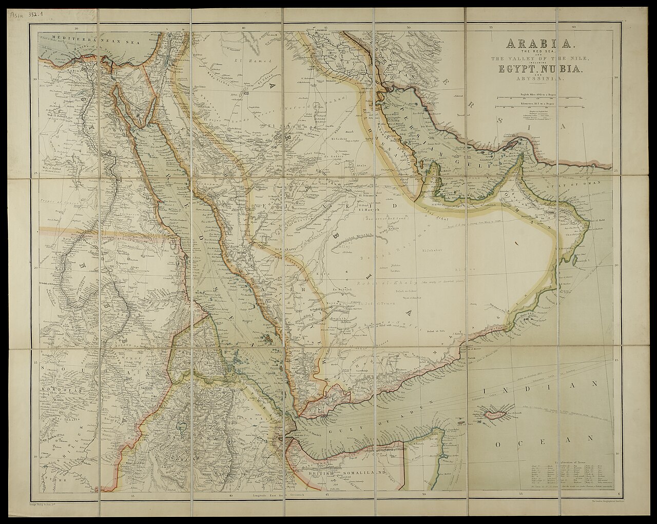
edit| Arabia. The Red Sea. The Valley of the Nile. Egypt, Nubia, and Abyssinia
( |
||||||||||||||||||||||||
|---|---|---|---|---|---|---|---|---|---|---|---|---|---|---|---|---|---|---|---|---|---|---|---|---|
| Title |
Arabia. The Red Sea. The Valley of the Nile. Egypt, Nubia, and Abyssinia |
|||||||||||||||||||||||
| Publisher |
George Philip & Son |
|||||||||||||||||||||||
| Description |
Arabia. The Red Sea. The Valley of the Nile. Egypt, Nubia, and Abyssinia. The London Geographical Institute. |
|||||||||||||||||||||||
| Language | English | |||||||||||||||||||||||
| Publication date | 1930 possibly | |||||||||||||||||||||||
| Medium | 1 sheet : color ; | |||||||||||||||||||||||
| Dimensions | height: 54 cm (21.2 in); width: 68 cm (26.7 in) | |||||||||||||||||||||||
| Collection |
|
|||||||||||||||||||||||
| Current location |
|
|||||||||||||||||||||||
| Place of publication | London | |||||||||||||||||||||||
| search Merhav catalog | London | |||||||||||||||||||||||
| Notes | On cover: Arabia. with index. Philips' Travelling Maps. | |||||||||||||||||||||||
| IE PID | IE158955793 | |||||||||||||||||||||||
| Rosetta filename | FL158955795 | |||||||||||||||||||||||
| NNL item ID (P3959) | 997009156568205171 | |||||||||||||||||||||||
| search Merhav catalog | English | |||||||||||||||||||||||
| search Merhav catalog | George Philip & Son | |||||||||||||||||||||||
| Source/Photographer |
|
|||||||||||||||||||||||
| Other versions | ||||||||||||||||||||||||
| Jpg / Tif version |
|
|||||||||||||||||||||||

.jpg)

.jpg&action=edit§ion=1)
Licensing
edit.jpg&action=edit§ion=2)
This UK artistic or literary work, of which the author is unknown and cannot be ascertained by reasonable enquiry, is in the public domain because it is one of the following:
|
 |
File history
Click on a date/time to view the file as it appeared at that time.
| Date/Time | Thumbnail | Dimensions | User | Comment | |
|---|---|---|---|---|---|
| current | 15:33, 2 September 2023 | | 4,690 × 3,744 (12.47 MB) | Geagea (talk | contribs) | pattypan 22.03 |
You cannot overwrite this file.
File usage on Commons
The following page uses this file:
.jpg&oldid=800407047)