File:Aramburu Island, USGS, 1955.png
No higher resolution available.
Aramburu_Island,_USGS,_1955.png (582 × 582 pixels, file size: 550 KB, MIME type: image/png)
Captions
Captions
Add a one-line explanation of what this file represents
Summary edit
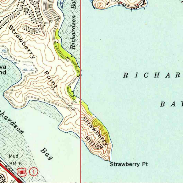
| Description | USGS imagery of an island in the w:San Francisco Bay Area. Image cropped from USGS historical map, available from TopoViewer. | |||
| Date | 1955, 1956 | |||
| Source | https://ngmdb.usgs.gov/topoview/viewer/ | |||
| Author | USGS | |||
| Permission (Reusing this file) |
|
[{Category:San Francisco Bay]
File history
Click on a date/time to view the file as it appeared at that time.
| Date/Time | Thumbnail | Dimensions | User | Comment | |
|---|---|---|---|---|---|
| current | 07:58, 27 March 2021 | | 582 × 582 (550 KB) | JPxG (talk | contribs) | == {{int:filedesc}} == {{Information |Description=USGS imagery of an island in the w:San Francisco Bay Area. Image cropped from USGS historical map, available from TopoViewer. |Source=https://ngmdb.usgs.gov/topoview/viewer/ |Date=1955, 1956 |Author=USGS |Permission={{PD-USGov-USGS}} |other_versions= }} Category:Islands of California Category:San Francisco Bay Area [{Category:San Francisco Bay] |
You cannot overwrite this file.
File usage on Commons
There are no pages that use this file.
File usage on other wikis
The following other wikis use this file:
- Usage on en.wikipedia.org