File:Arashiyama, From Togetsu-kyo Bridge -1 (November 2014) - panoramio.jpg

Size of this preview: 800 × 533 pixels. Other resolutions: 320 × 213 pixels | 640 × 427 pixels | 1,024 × 683 pixels | 1,280 × 853 pixels | 2,048 × 1,365 pixels.
Original file (2,048 × 1,365 pixels, file size: 1,000 KB, MIME type: image/jpeg)
Captions
Captions
Add a one-line explanation of what this file represents
Summary
edit_-_panoramio.jpg&action=edit§ion=1)
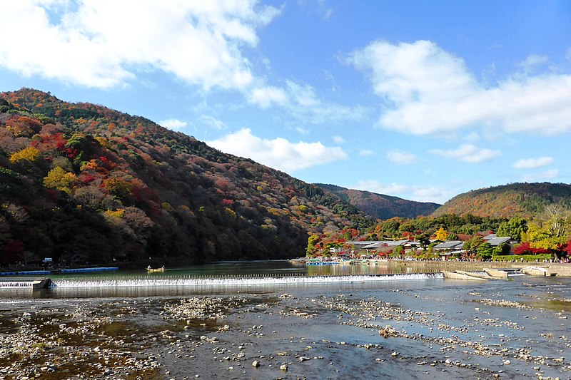
| Description | Arashiyama, From Togetsu-kyo Bridge -1 (November 2014) | ||
| Date | Taken on 27 November 2014 | ||
| Source | https://web.archive.org/web/20161031101639/http://www.panoramio.com/photo/128765417 | ||
| Author | ttshr1970 | ||
| Permission (Reusing this file) |
This file is licensed under the Creative Commons Attribution 3.0 Unported license. Attribution: ttshr1970
|
||
| Panoramio Tags | Ukyo Ward, Arashiyama, Japan, Kansai, Kyoto, Ukyo-ku, 京都市, 京都府, 右京区, 嵐山 |
| Camera location | | View this and other nearby images on: OpenStreetMap |
|---|
_-_panoramio.jpg¶ms=035.012590_N_0135.677731_E_globe:Earth_type:camera_source:Panoramio_&language=en)
File history
Click on a date/time to view the file as it appeared at that time.
| Date/Time | Thumbnail | Dimensions | User | Comment | |
|---|---|---|---|---|---|
| current | 05:15, 2 July 2017 | | 2,048 × 1,365 (1,000 KB) | Panoramio upload bot (talk | contribs) | == {{int:filedesc}} == {{Information |description=Arashiyama, From Togetsu-kyo Bridge -1 (November 2014) |date={{Taken on|2014-11-27}} |source=http://www.panoramio.com/photo/128765417 |author=[http://www.panoramio.com/user/7641638?with_photo_id=1287654... |
You cannot overwrite this file.
File usage on Commons
The following 2 pages use this file:
File usage on other wikis
The following other wikis use this file:
- Usage on www.wikidata.org
_-_panoramio.jpg&oldid=899724312)