File:Ardennes department location map.svg

Size of this PNG preview of this SVG file: 514 × 514 pixels. Other resolutions: 240 × 240 pixels | 480 × 480 pixels | 768 × 768 pixels | 1,024 × 1,024 pixels | 2,048 × 2,048 pixels.
Original file (SVG file, nominally 514 × 514 pixels, file size: 1,015 KB)
Captions
Captions
Add a one-line explanation of what this file represents
Summary edit
| Description |
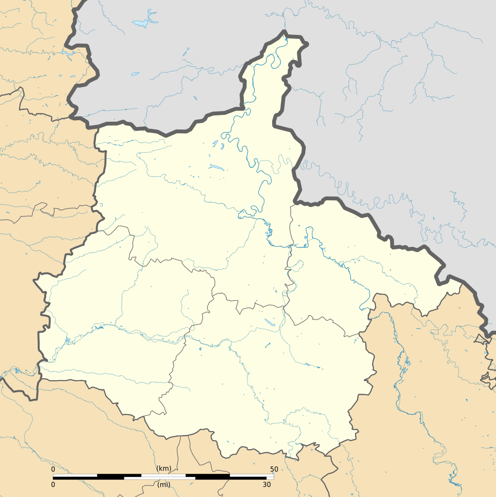
Français : Carte administrative vierge du département du Ardennes, France, destinée à la géolocalisation. Limites géographiques de la carte :
|
| Date | |
| Source |
Own work
|
| Author | Flappiefh |
| Other versions |
|

Licensing edit
I, the copyright holder of this work, hereby publish it under the following license:
This file is licensed under the Creative Commons Attribution-Share Alike 4.0 International license.
- You are free:
- to share – to copy, distribute and transmit the work
- to remix – to adapt the work
- Under the following conditions:
- attribution – You must give appropriate credit, provide a link to the license, and indicate if changes were made. You may do so in any reasonable manner, but not in any way that suggests the licensor endorses you or your use.
- share alike – If you remix, transform, or build upon the material, you must distribute your contributions under the same or compatible license as the original.
File history
Click on a date/time to view the file as it appeared at that time.
| Date/Time | Thumbnail | Dimensions | User | Comment | |
|---|---|---|---|---|---|
| current | 08:02, 22 June 2016 | | 514 × 514 (1,015 KB) | Flappiefh (talk | contribs) | Thicker rivers |
| 07:57, 22 June 2016 |  | 514 × 514 (1,015 KB) | Flappiefh (talk | contribs) | User created page with UploadWizard |
You cannot overwrite this file.
File usage on Commons
The following 2 pages use this file:
File usage on other wikis
The following other wikis use this file:
- Usage on eo.wikipedia.org
- Ŝablono:Situo sur mapo Francio Ardennes
- Charleville-Mézières (stacidomo)
- Sedan (stacidomo)
- Rethel (stacidomo)
- Fumay (stacidomo)
- Givet (stacidomo)
- Fépin (stacidomo)
- Poix-Terron (stacidomo)
- Aubrives (stacidomo)
- Vireux-Molhain (stacidomo)
- Haybes (stacidomo)
- Revin (stacidomo)
- Anchamps (stacidomo)
- Laifour (stacidomo)
- Deville (stacidomo)
- Monthermé (stacidomo)
- Bogny-sur-Meuse (stacidomo)
- Joigny-sur-Meuse (stacidomo)
- Nouzonville (stacidomo)
- Mohon (stacidomo)
- Mohon (Ardennes)
- Carignan (stacidomo)
- Messempré (stacidomo)
- Vrigne-Meuse (stacidomo)
- Donchery (stacidomo)
- Liart (stacidomo)
- Lumes (stacidomo)
- Amagne - Lucquy (stacidomo)
- Nouvion-sur-Meuse (stacidomo)
- Vouziers (stacidomo)
- Tournes (stacidomo)
- Usage on fr.wikipedia.org
- Château de Sedan
- Louvergny
- Le Chesne (Ardennes)
- Les Alleux
- Chéhéry
- Vrizy
- Nohan
- École royale du génie de Mézières
- Blaise (Ardennes)
- Château de Lametz
- Gare de Rethel
- Gare de Mohon
- Gare de Charleville-Mézières
- Gare de Nouzonville
- Gare de Joigny-sur-Meuse
- Gare de Bogny-sur-Meuse
- Gare de Monthermé
- Gare de Deville
- Gare de Laifour
View more global usage of this file.