File:Argentina - Map - Provinces with names He.png
Size of this preview: 352 × 599 pixels. Other resolutions: 141 × 240 pixels | 456 × 776 pixels.
Original file (456 × 776 pixels, file size: 54 KB, MIME type: image/png)
Captions
Captions
Add a one-line explanation of what this file represents
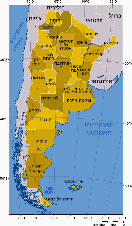
| Description | תרגום המפה לעברית |
| Date | (UTC) |
| Source | |
| Author |
|
| This is a retouched picture, which means that it has been digitally altered from its original version. Modifications: Hebrew. The original can be viewed here: Argentina - Map - Provinces with names.png:
|
I, the copyright holder of this work, hereby publish it under the following licenses:
| This file is licensed under the Creative Commons Attribution-Share Alike 3.0 Unported license. | ||
| ||
| This licensing tag was added to this file as part of the GFDL licensing update. |

|
Permission is granted to copy, distribute and/or modify this document under the terms of the GNU Free Documentation License, Version 1.2 or any later version published by the Free Software Foundation; with no Invariant Sections, no Front-Cover Texts, and no Back-Cover Texts. A copy of the license is included in the section entitled GNU Free Documentation License. |
You may select the license of your choice.
Original upload log
edit
This image is a derivative work of the following images:
- File:Argentina_-_Map_-_Provinces_with_names.png licensed with Cc-by-sa-3.0-migrated, GFDL
- 2009-04-02T14:04:26Z RoyFocker 12 456x776 (37982 Bytes) Según las leyes argentinas la Islas Malvinas son parte de la Provincia de Tierra del Fuego.
- 2005-11-08T08:22:43Z Marianocecowski 456x776 (38061 Bytes) Taken form [[:Imagen:Mapa político de Argentina.png]], previously taken from the [http://enciclopedia.us.es/index.php/Imagen:Mapa_pol%EDtico_de_Argentina.png Enciclopedia Libre de Español], created by [http://www.aquarius.
Uploaded with derivativeFX
File history
Click on a date/time to view the file as it appeared at that time.
| Date/Time | Thumbnail | Dimensions | User | Comment | |
|---|---|---|---|---|---|
| current | 11:27, 31 August 2011 | | 456 × 776 (54 KB) | Itzuvit (talk | contribs) | כף הורן |
| 05:57, 31 August 2011 |  | 456 × 776 (54 KB) | Itzuvit (talk | contribs) | {{Information |Description=== |Source=*File:Argentina_-_Map_-_Provinces_with_names.png |Date=2011-08-31 05:55 (UTC) |Author=*File:Argentina_-_Map_-_Provinces_with_names.png user:(37 KB) Marianocecowski:*derivative work: ~~~ |Permission= |o |
You cannot overwrite this file.
File usage on Commons
There are no pages that use this file.
File usage on other wikis
The following other wikis use this file:
- Usage on he.wikipedia.org