File:Arras - Mapillary (7un4Pya4fBNkpIlNSK OMw).jpg
Size of this preview: 800 × 600 pixels. Other resolutions: 320 × 240 pixels | 640 × 480 pixels | 1,024 × 768 pixels | 1,280 × 960 pixels | 2,048 × 1,536 pixels.
Original file (2,048 × 1,536 pixels, file size: 546 KB, MIME type: image/jpeg)
Captions
Captions
Add a one-line explanation of what this file represents
Summary
edit.jpg&action=edit§ion=1)
| Description |
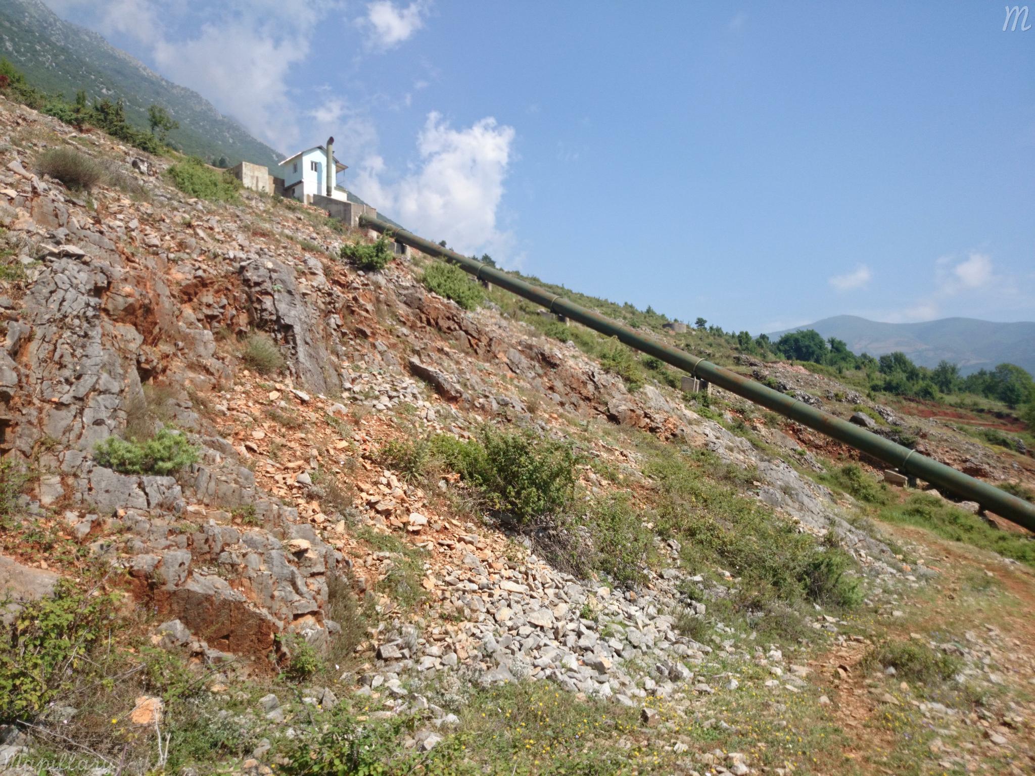
Deutsch: Druckwasserleitung vom Kanal aus Gur-Lurë zum Wasserkraftwerk im Seta-Tal bei Cidhën
English: Penstock from the channel from Gur-Lurë to the hydropower plant in the valley of the Seta near Cidhën |
||
| Date | |||
| Source |
|
||
| Author | malenki @ Mapillary.com | ||
| Permission (Reusing this file) |
This file is licensed under the Creative Commons Attribution-Share Alike 4.0 International license.
|
| Camera location | | View this and other nearby images on: OpenStreetMap |
|---|
.jpg¶ms=041.753147_N_0020.263718_E_globe:Earth_type:camera_heading:37.00&language=en)
File history
Click on a date/time to view the file as it appeared at that time.
| Date/Time | Thumbnail | Dimensions | User | Comment | |
|---|---|---|---|---|---|
| current | 19:08, 25 July 2015 | | 2,048 × 1,536 (546 KB) | Malenki (talk | contribs) | Transferred from https://d1cuyjsrcm0gby.cloudfront.net/7un4Pya4fBNkpIlNSK_OMw/thumb-2048.jpg |
You cannot overwrite this file.
File usage on Commons
There are no pages that use this file.
.jpg&oldid=802027196)