File:Arundel - West Sussex dot.png

Size of this preview: 417 × 599 pixels. Other resolutions: 167 × 240 pixels | 334 × 480 pixels | 534 × 768 pixels | 713 × 1,024 pixels | 1,802 × 2,589 pixels.
Original file (1,802 × 2,589 pixels, file size: 189 KB, MIME type: image/png)
Captions
Captions
Add a one-line explanation of what this file represents
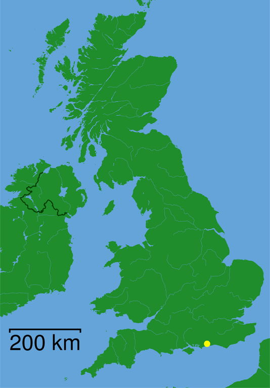
- English: Map of Arundel (West Sussex)
- Deutsch: Karte von Arundel in West Sussex
- map created by en:User:LupinBot
- Upload-History: en.wikipedia.org: 00:56, 12. Mai 2005 . . LupinBot . . 1802x2589 (193881 Byte) ({{GFDL}} Category:GBdot)
| This file is licensed under the Creative Commons Attribution-Share Alike 3.0 Unported license. Subject to disclaimers. | ||
| ||
| This licensing tag was added to this file as part of the GFDL licensing update. |

|
Permission is granted to copy, distribute and/or modify this document under the terms of the GNU Free Documentation License, Version 1.2 or any later version published by the Free Software Foundation; with no Invariant Sections, no Front-Cover Texts, and no Back-Cover Texts. A copy of the license is included in the section entitled GNU Free Documentation License. Subject to disclaimers. |
File history
Click on a date/time to view the file as it appeared at that time.
| Date/Time | Thumbnail | Dimensions | User | Comment | |
|---|---|---|---|---|---|
| current | 22:56, 4 December 2005 | | 1,802 × 2,589 (189 KB) | BLueFiSH.as (talk | contribs) | *{{en|Map of Arundel (West Sussex)}} *{{de|Karte von Arundel in West Sussex}} *map created by en:User:LupinBot *Upload-History: [[:en:Image:{{subst:PAGENAME}}|en.wikipedia.org]]: ''<nowiki>00:56, 12. Mai 2005 . . LupinBot . . 1802x2589 (193881 Byte) |
You cannot overwrite this file.
File usage on Commons
There are no pages that use this file.