File:Ashley Avenue and Bogard Street - 1789.pdf

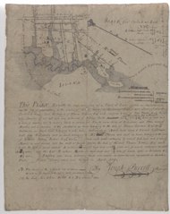
Size of this JPG preview of this PDF file: 476 × 599 pixels. Other resolutions: 190 × 240 pixels | 381 × 480 pixels | 610 × 768 pixels | 813 × 1,024 pixels | 2,033 × 2,560 pixels.
Original file (2,033 × 2,560 pixels, file size: 4.57 MB, MIME type: application/pdf)
Captions
Captions
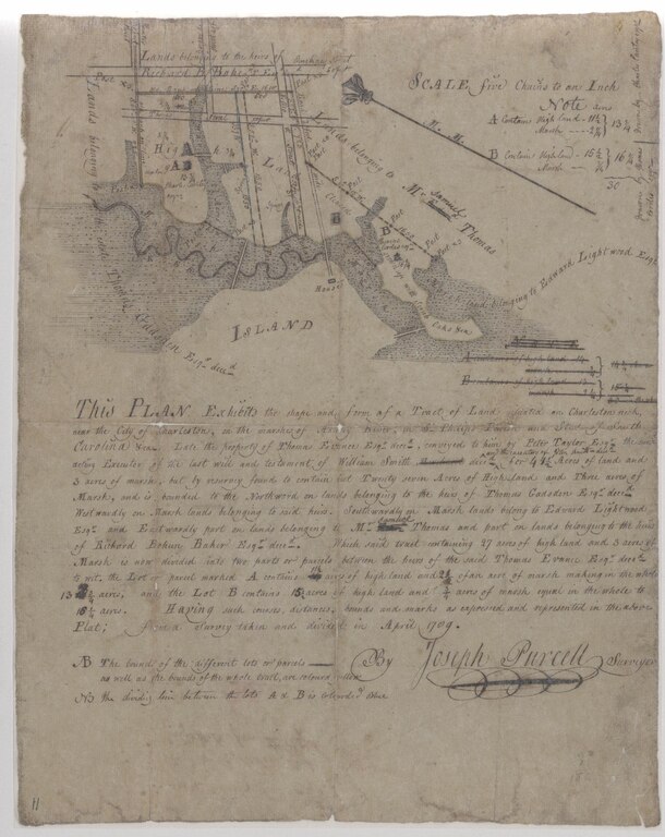
A plat of the marsh along the Ashley River near Thomas Street (now Ashley Avenue) and Bogard Street from 1789
Summary
edit| Description |
English: A plat of the marsh along the Ashley River near Thomas Street (now Ashley Avenue) and Bogard Street from 1789 |
| Date | |
| Source | Charleston County Deeds Office, McCrady plat 0011 |
| Author | Joseph Purcell |
Licensing
editThis work is in the public domain in the United States because it was published (or registered with the U.S. Copyright Office) before January 1, 1929.
Public domain works must be out of copyright in both the United States and in the source country of the work in order to be hosted on the Commons. If the work is not a U.S. work, the file must have an additional copyright tag indicating the copyright status in the source country.
Note: This tag should not be used for sound recordings. |
File history
Click on a date/time to view the file as it appeared at that time.
| Date/Time | Thumbnail | Dimensions | User | Comment | |
|---|---|---|---|---|---|
| current | 16:44, 8 March 2021 |  | 2,033 × 2,560 (4.57 MB) | ProfReader (talk | contribs) | Uploaded a work by Joseph Purcell from Charleston County Deeds Office, McCrady plat 0011 with UploadWizard |
You cannot overwrite this file.
File usage on Commons
There are no pages that use this file.