File:Astichello map-2.jpg

Size of this preview: 312 × 598 pixels. Other resolutions: 125 × 240 pixels | 250 × 480 pixels | 685 × 1,314 pixels.
Original file (685 × 1,314 pixels, file size: 952 KB, MIME type: image/jpeg)
Captions
Captions
Add a one-line explanation of what this file represents
Summary edit
| Description |
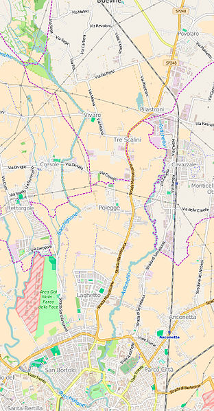
Italiano: Mappa della depressione dell'Astichello (zona compresa tra i fiumi Bacchiglione e Astichello) |
| Date | |
| Source | http://www.openstreetmap.org/export#map=13/45.5858/11.5417 |
| Author | OpenStreetMap |
Licensing edit
| This work is licensed under the Open Database License (summary). |
File history
Click on a date/time to view the file as it appeared at that time.
| Date/Time | Thumbnail | Dimensions | User | Comment | |
|---|---|---|---|---|---|
| current | 20:18, 17 February 2016 | | 685 × 1,314 (952 KB) | Claudio Gioseffi (talk | contribs) | User created page with UploadWizard |
You cannot overwrite this file.
File usage on Commons
The following page uses this file:
File usage on other wikis
The following other wikis use this file:
- Usage on da.wikipedia.org
- Usage on it.wikipedia.org
- Usage on vec.wikipedia.org
- Usage on www.wikidata.org