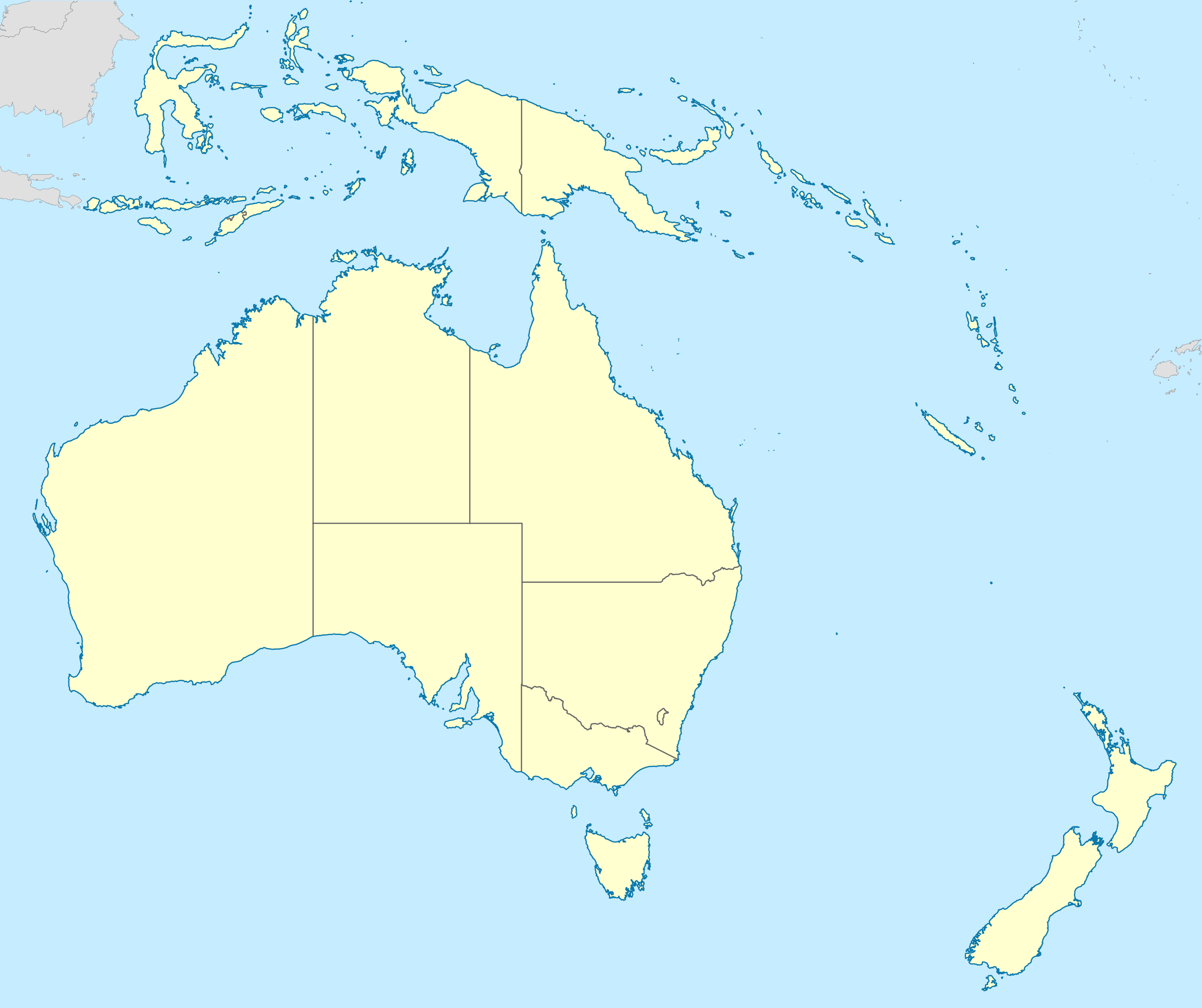
File:Australasia locator map.svg

Size of this PNG preview of this SVG file: 715 × 600 pixels. Other resolutions: 286 × 240 pixels | 572 × 480 pixels | 915 × 768 pixels | 1,221 × 1,024 pixels | 2,441 × 2,048 pixels | 1,000 × 839 pixels.
Original file (SVG file, nominally 1,000 × 839 pixels, file size: 1.5 MB)
Captions
Captions
Add a one-line explanation of what this file represents
Summary
edit| Description |
|
| Date | |
| Source |
This file was derived from: Maps template-en.svg:
|
| Author |
Derivative work made by John Tann using: |

Licensing
edit
I, the copyright holder of this work, hereby publish it under the following license:
This file is licensed under the Creative Commons Attribution 4.0 International license.
- You are free:
- to share – to copy, distribute and transmit the work
- to remix – to adapt the work
- Under the following conditions:
- attribution – You must give appropriate credit, provide a link to the license, and indicate if changes were made. You may do so in any reasonable manner, but not in any way that suggests the licensor endorses you or your use.
File history
Click on a date/time to view the file as it appeared at that time.
| Date/Time | Thumbnail | Dimensions | User | Comment | |
|---|---|---|---|---|---|
| current | 12:33, 20 August 2017 | | 1,000 × 839 (1.5 MB) | John Tann (talk | contribs) | Removed redundant layers. Changed startup layer. |
| 22:39, 19 August 2017 |  | 1,000 × 839 (2.58 MB) | John Tann (talk | contribs) | User created page with UploadWizard |
You cannot overwrite this file.
File usage on Commons
There are no pages that use this file.