File:Australia map, States-simple.svg

Size of this PNG preview of this SVG file: 200 × 186 pixels. Other resolutions: 258 × 240 pixels | 516 × 480 pixels | 826 × 768 pixels | 1,101 × 1,024 pixels | 2,202 × 2,048 pixels.
Original file (SVG file, nominally 200 × 186 pixels, file size: 16 KB)
Captions
Captions
Add a one-line explanation of what this file represents
| Description |
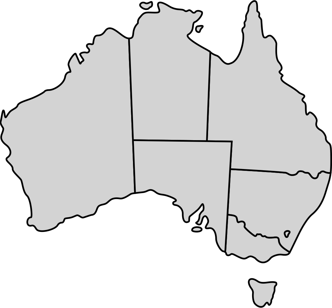
English: Map showing the territory governed by the states and territories of the Australian state. Note that Jervis Bay Territory is not marked out.
Non-contiguous parts of a state/territory's area are "grouped" together with the main area of the state/territory, so any state/territory can be coloured in completion with one click anywhere on the state/territory's area. Also, all state/territory have a "id" attached to them, making them easy to find. Select "find" and then enter in the state/territory's partial ISO 3166-2:AU code in the "id" field to find it. |
||||||||
| Date | 2 July 2007 (upload date) | ||||||||
| Source |
|
||||||||
| Author | Lokal_Profil | ||||||||
| Permission (Reusing this file) |
This file is licensed under the Creative Commons Attribution-Share Alike 2.5 Generic license. Attribution: Lokal_Profil
|
||||||||
| Other versions | Less simplified map |

File history
Click on a date/time to view the file as it appeared at that time.
| Date/Time | Thumbnail | Dimensions | User | Comment | |
|---|---|---|---|---|---|
| current | 21:44, 2 July 2007 | | 200 × 186 (16 KB) | Lokal Profil (talk | contribs) | {{Information |Description={{en|Map showing the states and territories of Australia. Note that Jervis Bay Territory is not marked out. Non-contiguous parts of a state/territory's area are "grouped" together with the main area of the state/territory, so a |
You cannot overwrite this file.
File usage on Commons
The following page uses this file: