File:Australian state route 37.svg

Size of this PNG preview of this SVG file: 376 × 361 pixels. Other resolutions: 250 × 240 pixels | 500 × 480 pixels | 800 × 768 pixels | 1,067 × 1,024 pixels | 2,133 × 2,048 pixels.
Original file (SVG file, nominally 376 × 361 pixels, file size: 6 KB)
Captions
Captions
Add a one-line explanation of what this file represents
W3C-validity not checked.
Summary
edit
| Description |
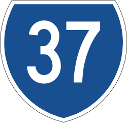
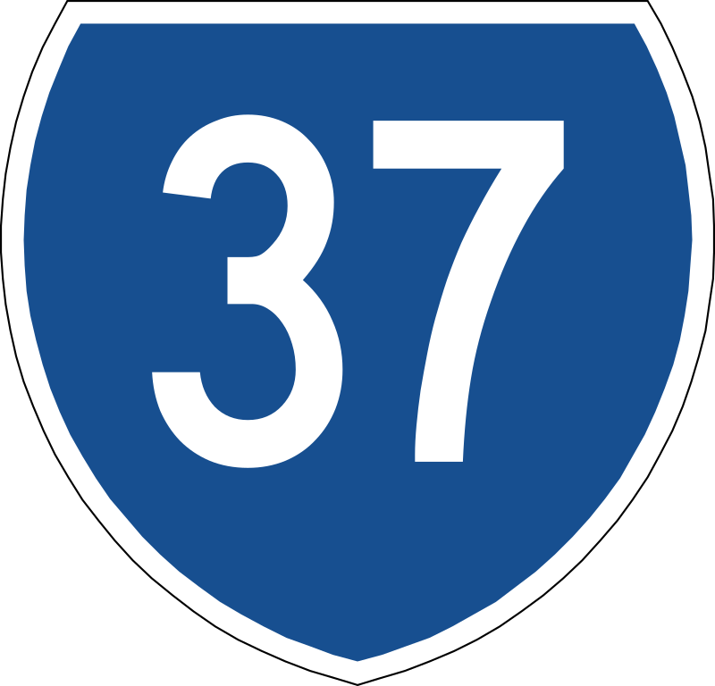
English: State route marker in Australia. |
| Date | |
| Source | AS1743 (AS1743-2001 Pages 202-207), Colours approximated. |
| Author |
w:Standards Australia This image: Fredddie |
Licensing
edit
This image was moved from Wikimedia Commons, as it was found to be likely copyrighted within Australia.
| This work is ineligible for copyright and therefore in the public domain because it consists entirely of information that is common property and contains no original authorship. |
File history
Click on a date/time to view the file as it appeared at that time.
| Date/Time | Thumbnail | Dimensions | User | Comment | |
|---|---|---|---|---|---|
| current | 03:47, 23 September 2013 | | 376 × 361 (6 KB) | Nbound (talk | contribs) | |
| 03:09, 23 September 2013 |  | 376 × 361 (6 KB) | Nbound (talk | contribs) |
You cannot overwrite this file.
File usage on Commons
There are no pages that use this file.
File usage on other wikis
The following other wikis use this file:
- Usage on en.wikipedia.org
- CityLink
- Werribee line
- Williamstown line
- Sunbury line
- West Gate Freeway
- Tullamarine Freeway
- Calder Highway
- Warrego Highway
- Yarra Scenic Drive
- Warrnambool V/Line rail service
- North East railway line
- Maribyrnong Road
- Mount Alexander Road
- Newport–Sunshine railway line
- Docklands Highway
- List of road routes in Victoria (numeric)
- Warrnambool railway line
- Ballarat Road
- User:Downsize43/Sandbox/Sandbox2a
- Moggill Road
- Old Princes Highway (Victoria)
- User:Evad37/List of road routes in Queensland
- List of road routes in Queensland
- Template:Sunbury line
- Template:Werribee line
- Template:Williamstown line
- User:Raleigh98/Main Line Routes
- Template:Warrnambool railway line
- User:Raleigh98/Suburban Routes
- Template:Port Fairy railway line
- User:Westburn World
- User:ThylacineHunter/Lines/Port Fairy
- User:ThylacineHunter/Lines/Williamstown railway line
- User:ThylacineHunter/Lines/Metro Yellow
- User:ThylacineHunter/Lines/Metro Green
- User:ThylacineHunter/Lines/Sunbury railway line
- User:ThylacineHunter/Lines/Werribee railway line
- User:ThylacineHunter/Lines/Geelong railway line
- User:ThylacineHunter/Lines/Warrnambool railway line
- User:ThylacineHunter/Lines/Port Fairy railway line
- Template:Geelong railway line
- User:ThylacineHunter/Lines/NESG railway line
- Warrego Highway state-controlled roads
- Template:North East standard gauge railway line