File:Awase landsat.jpg
Size of this preview: 703 × 600 pixels. Other resolutions: 281 × 240 pixels | 563 × 480 pixels | 764 × 652 pixels.
Original file (764 × 652 pixels, file size: 148 KB, MIME type: image/jpeg)
Captions
Captions
Add a one-line explanation of what this file represents
Summary edit
| Description |
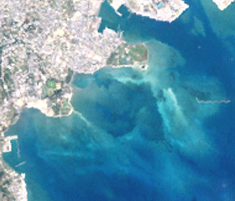
日本語: 泡瀬干潟のランドサット衛星写真。投稿者作成(下記参照) |
| Source | The Landsat satellite pictures are used for this image. The data came from Global Land Cover Facility (GLCF), and are processed with Kashmir 3D. |
| Author | Global Land Cover Facility (GLCF) |
Licensing edit
| The Landsat satellite pictures are used for this image. The data came from Global Land Cover Facility (GLCF), and are processed with Kashmir 3D. |
| This file is licensed under the Creative Commons Attribution-Share Alike 3.0 Unported license. Subject to disclaimers. | ||
| ||
| This licensing tag was added to this file as part of the GFDL licensing update. |

|
Permission is granted to copy, distribute and/or modify this document under the terms of the GNU Free Documentation License, Version 1.2 or any later version published by the Free Software Foundation; with no Invariant Sections, no Front-Cover Texts, and no Back-Cover Texts. A copy of the license is included in the section entitled GNU Free Documentation License. Subject to disclaimers. |
File history
Click on a date/time to view the file as it appeared at that time.
| Date/Time | Thumbnail | Dimensions | User | Comment | |
|---|---|---|---|---|---|
| current | 16:17, 30 March 2007 | | 764 × 652 (148 KB) | Tdk (talk | contribs) | 泡瀬干潟のランドサット衛星写真。投稿者作成(下記参照){{landsat}} |
You cannot overwrite this file.
File usage on Commons
There are no pages that use this file.
File usage on other wikis
The following other wikis use this file:
- Usage on ja.wikipedia.org