File:Axis occupation of Yugoslavia 1941-43 legend.png
Size of this preview: 545 × 600 pixels. Other resolutions: 218 × 240 pixels | 436 × 480 pixels | 698 × 768 pixels | 1,047 × 1,152 pixels.
Original file (1,047 × 1,152 pixels, file size: 179 KB, MIME type: image/png)
Captions
Captions
Add a one-line explanation of what this file represents
Summary edit
| Description |
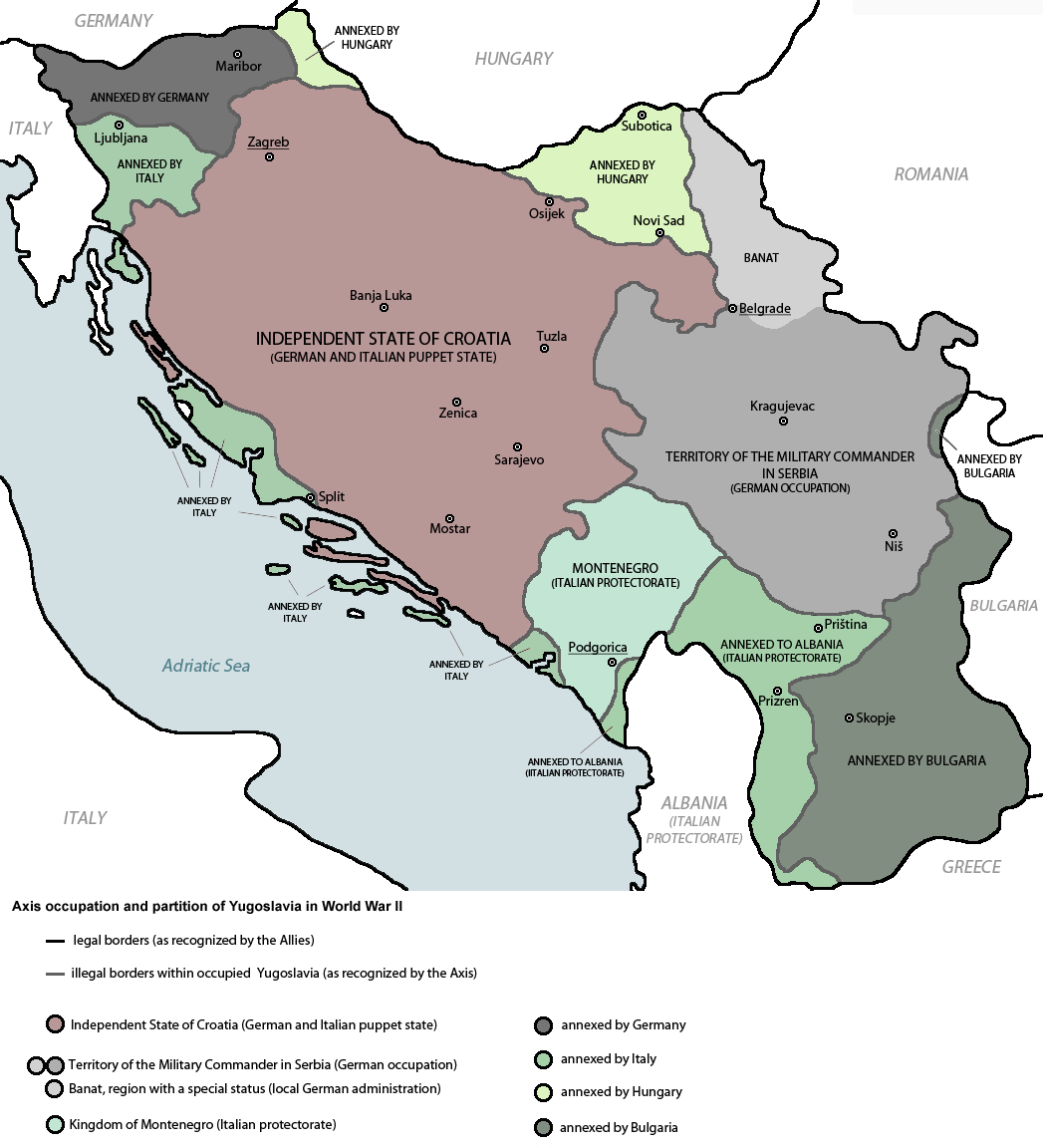
English: Axis occupation and partition of Yugoslavia in World War II. Srpskohrvatski / српскохрватски: Osovinska okupacija i podijela Jugoslavije u Drugom svijetskom ratu. |
| Source | File:Fascist_occupation_of_yugoslavia.png |
| Author | DIREKTOR (dervied from PANONIAN's work) |
| Other versions |
   |
Licensing edit
self-made map by user:DIREKTOR
| I, the copyright holder of this work, release this work into the public domain. This applies worldwide. In some countries this may not be legally possible; if so: I grant anyone the right to use this work for any purpose, without any conditions, unless such conditions are required by law. |
References edit
- Istorijski atlas, Geokarta, Beograd, 1999.
- Školski istorijski atlas, Zavod za izdavanje udžbenika SR Srbije, Beograd, 1970.
- Povijesni atlas, Učila - Zagreb, Zagreb, 1971.
- Denis Šehić - Demir Šehić, Istorijski atlas sveta, Beograd, 2007.
- The Times History of Europe, Times Books, London, 2002.
- Richard Overy, The Times History of the 20th Century, Times Books, London, 2004.
- The Times Atlas svjetske povijesti, Cankarjeva založba, Ljubljana - Zagreb, 1986.
- Tim Džuda, Srbi - istorija, mit i razaranje Jugoslavije, Beograd, 2003.
- Džon R. Lempi, Jugoslavija kao istorija, Beograd, 2004.
- Fransisko Veiga, Balkanska zamka (1804-2001), Beograd, 2003.
- Dr Tomislav Bogavac, Nestajanje Srba, Niš, 1994.
- Valter Manošek, Holokaust u Srbiji, Beograd, 2007.
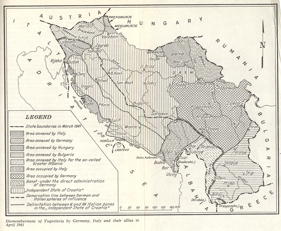
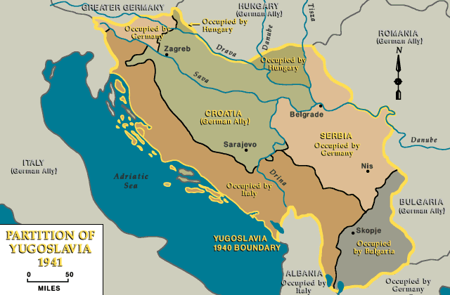
- http://www.terra.es/personal7/jqvaraderey/194145fc.gif Archived 2012-12-05 at Archive.today
- http://www.svetskirat.net/slike/razbijanje/zazbijanje_jugoslavije_1941.jpg
- http://www.marxists.org/subject/yugoslavia/images/maps/1941-dismemberment.jpg
- http://www.ushmm.org/lcmedia/map/lc/image/yug71020.gif
- http://www.srpska-mreza.com/MAPS/Yugoslavia/YU-Nazi-division.jpg archive copy at the Wayback Machine
- http://www.cartoko.com/content/wp-content/uploads/2010/05/Yugoslavia_1992_p038_CtryStudy.jpg[dead link]
- http://www.arhivyu.gov.rs/Data/Images/06_karta_b.jpg archive copy at the Wayback Machine
- http://terkepek.adatbank.transindex.ro/kepek/netre/211.gif
File history
Click on a date/time to view the file as it appeared at that time.
| Date/Time | Thumbnail | Dimensions | User | Comment | |
|---|---|---|---|---|---|
| current | 11:48, 8 May 2012 | | 1,047 × 1,152 (179 KB) | DIREKTOR (talk | contribs) | Amended labels |
| 18:46, 6 August 2011 |  | 1,047 × 1,152 (175 KB) | DIREKTOR (talk | contribs) | Uploading fixed version. | |
| 09:54, 20 July 2011 |  | 1,047 × 1,186 (215 KB) | DIREKTOR (talk | contribs) | Small fix. | |
| 17:15, 22 June 2011 |  | 1,047 × 1,186 (110 KB) | WhiteWriter (talk | contribs) | Fixes per talk page of the two other same maps | |
| 12:53, 8 June 2011 |  | 1,047 × 1,186 (174 KB) | DIREKTOR (talk | contribs) |
You cannot overwrite this file.
File usage on Commons
The following 3 pages use this file:
File usage on other wikis
The following other wikis use this file:
- Usage on en.wikipedia.org
- Usage on fa.wikipedia.org
- Usage on he.wikipedia.org
- Usage on mk.wikipedia.org
- Usage on pl.wikipedia.org
- Usage on pt.wikipedia.org
- Usage on sr.wikipedia.org
- Usage on uk.wikipedia.org