File:Błażowa (gmina) location map.png

Original file (2,183 × 1,805 pixels, file size: 1.26 MB, MIME type: image/png)
Captions
Captions
Summary
edit_location_map.png&action=edit§ion=1)
| Description |
English: Location map |
| Date | |
| Source | Own work |
| Author | Smat |
| Description |
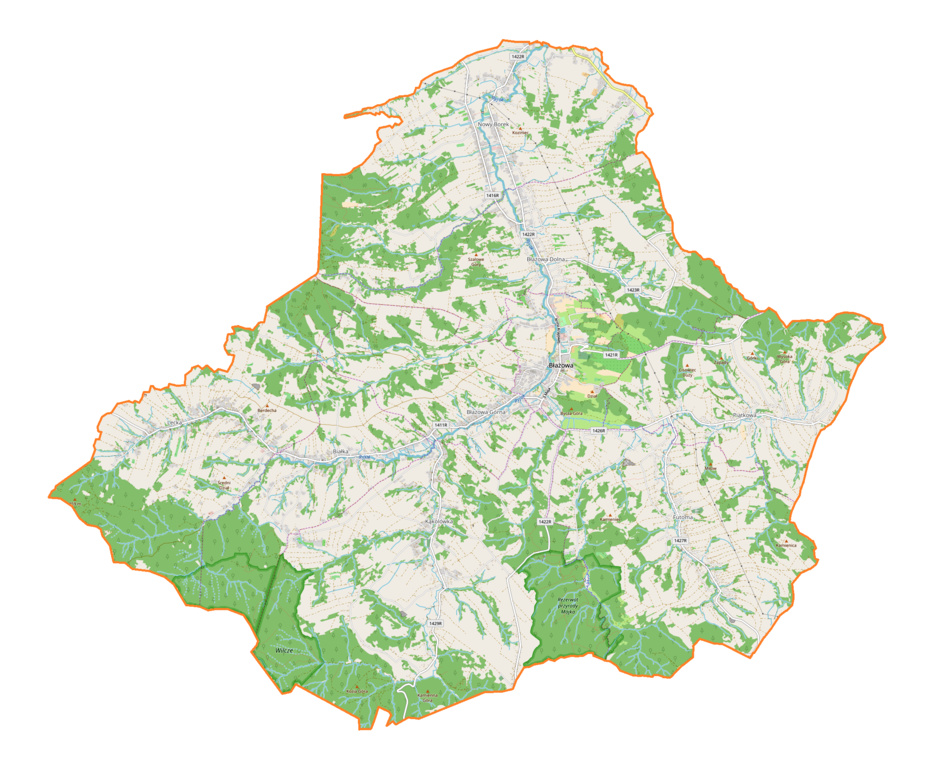
Polski: Mapa gminy Błażowa, Polska
English: Map of Błażowa (gmina), Poland |
|||||||||
| Date | ||||||||||
| Source | You may find a page on the OpenStreetMap wiki page for Błażowa (gmina) | |||||||||
| Creator |
OpenStreetMap contributors OpenStreetMap contributors |
|||||||||
| Permission (Reusing this file) |
OpenStreetMap data is available under the Open Database License (details). Map tiles are licensed under the Creative Commons Attribution-ShareAlike 2.0 license (CC-BY-SA 2.0).
This file is licensed under the Creative Commons Attribution-Share Alike 2.0 Generic license.
|
|||||||||
| Geotemporal data | ||||||||||
| Bounding box |
|
|||||||||
| Georeferencing | If inappropriate please set warp_status = skip to hide. | |||||||||
Licensing
edit_location_map.png&action=edit§ion=2)
| This work contains information from OpenStreetMap, which is made available under the Open Database License (ODbL).
The ODbL does not require any particular license for maps produced from ODbL data. Prior to 1 August 2020, map tiles produced by the OpenStreetMap Foundation were licensed under the CC-BY-SA-2.0 license. Maps produced by other people may be subject to other licences. |
File history
Click on a date/time to view the file as it appeared at that time.
| Date/Time | Thumbnail | Dimensions | User | Comment | |
|---|---|---|---|---|---|
| current | 13:30, 19 August 2018 | | 2,183 × 1,805 (1.26 MB) | Smat (talk | contribs) | User created page with UploadWizard |
You cannot overwrite this file.
File usage on Commons
There are no pages that use this file.
File usage on other wikis
The following other wikis use this file:
- Usage on pl.wikipedia.org
- Rezerwat przyrody Mójka
- Rezerwat przyrody Wilcze
- Błażowa
- Błażowa Dolna
- Błażowa Górna
- Futoma
- Kąkolówka
- Lecka
- Białka (województwo podkarpackie)
- Nowy Borek (województwo podkarpackie)
- Piątkowa (powiat rzeszowski)
- Mokłuczka
- Ujazdy (Kąkolówka)
- Cmentarz żydowski w Błażowej
- Parafia św. Marcina w Błażowej
- Muzeum „Potoki” w Błażowej Górnej
- Parafia św. Walentego, Leonarda i Michała Archanioła w Futomie
- Parafia Matki Bożej Szkaplerznej w Kąkolówce
- Parafia Najświętszej Maryi Panny Królowej Polski w Piątkowej
- Parafia Najświętszego Serca Pana Jezusa w Lecce
- Most w ciągu ulicy Pułaskiego w Błażowej
- Kościół św. Marcina w Błażowej
- Moduł:Mapa/dane/Błażowa (gmina)
- Moduł:Mapa/dane/Błażowa
- Usage on pl.wikibooks.org
_location_map.png&oldid=840574390)