File:Bachelier - Hôtel Felzins.jpg

Size of this preview: 482 × 600 pixels. Other resolutions: 193 × 240 pixels | 386 × 480 pixels | 617 × 768 pixels | 823 × 1,024 pixels | 1,646 × 2,048 pixels | 4,900 × 6,096 pixels.
Original file (4,900 × 6,096 pixels, file size: 26.8 MB, MIME type: image/jpeg)
Captions
Captions
Add a one-line explanation of what this file represents
Summary edit
|
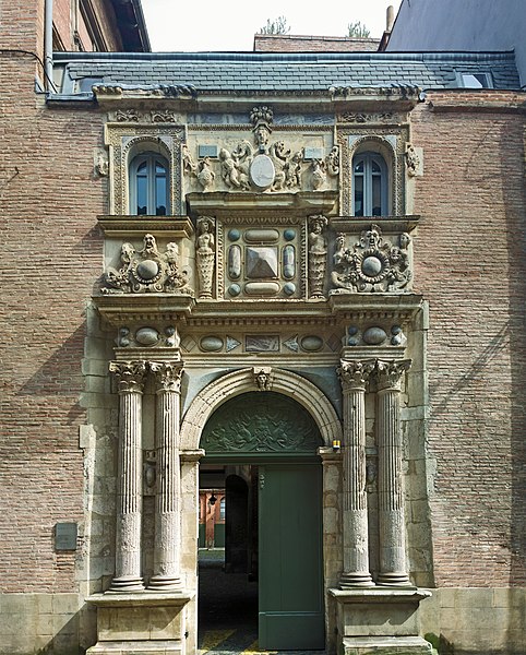
Hôtel Felzins - Gate on rue de la Dalbade in Toulouse | |||||||||||||||||||||||||||||||||||||||
|
| |||||||||||||||||||||||||||||||||||||||


File history
Click on a date/time to view the file as it appeared at that time.
| Date/Time | Thumbnail | Dimensions | User | Comment | |
|---|---|---|---|---|---|
| current | 17:09, 25 March 2015 | | 4,900 × 6,096 (26.8 MB) | Archaeodontosaurus (talk | contribs) | {{Information |Description ={{en|1=c}} |Source ={{own}} |Author =Archaeodontosaurus |Date = |Permission = |other_versions = }} |
You cannot overwrite this file.
File usage on Commons
The following 4 pages use this file:
File usage on other wikis
The following other wikis use this file:
- Usage on ca.wikipedia.org
- Usage on en.wikipedia.org
- Usage on fr.wikipedia.org
- Usage on it.wikipedia.org
- Usage on oc.wikipedia.org
- Usage on www.wikidata.org
- Usage on zh.wikipedia.org