File:Badalona - Convent de la Divina Providència.jpg

Size of this preview: 410 × 599 pixels. Other resolutions: 164 × 240 pixels | 328 × 480 pixels | 526 × 768 pixels | 701 × 1,024 pixels | 1,402 × 2,048 pixels | 5,141 × 7,509 pixels.
Original file (5,141 × 7,509 pixels, file size: 24.27 MB, MIME type: image/jpeg)
Captions
Captions
Add a one-line explanation of what this file represents
Summary edit
|
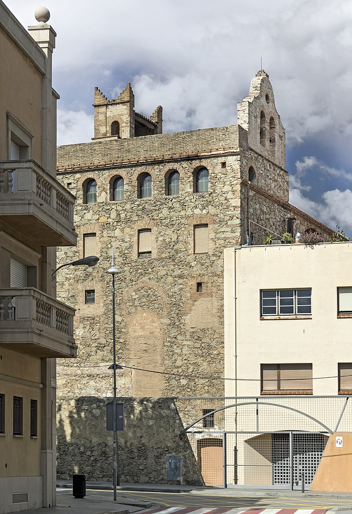
The Convent of the Divine Providence of Badalona seen from the "Carrer d'Enric Borràs" | |||||||||||||||||||||
|
| |||||||||||||||||||||


.jpg)


File history
Click on a date/time to view the file as it appeared at that time.
| Date/Time | Thumbnail | Dimensions | User | Comment | |
|---|---|---|---|---|---|
| current | 13:42, 10 May 2018 | | 5,141 × 7,509 (24.27 MB) | Archaeodontosaurus (talk | contribs) | {{Information |description ={{en|1=df}} |source ={{own}} |author =User:Archaeodontosaurus |date = }} |
You cannot overwrite this file.
File usage on Commons
The following 9 pages use this file:
- Badalona
- Commons:Valued image candidates/Badalona - Convent de la Divina Providència.jpg
- File:Badalona - Convent de la Divina Providència.jpg
- File:Badalona - Edifici del Museu de Badalona (Dalt de la Vila).jpg
- File:Badalona - Església de Santa Maria i catifa de Corpus.jpg
- File:Badalona - La Llauna, Fàbrica Gottardo de Andreis - Joan Amigó Barriga - 1909.jpg
- File:Badalona - La Rambla.jpg
- File:Badalona - The old entrance of the Teatro Zorrilla, in Carrer del Mar.jpg
- File:Monument a Pompeu Fabra.jpg
.jpg)
File usage on other wikis
The following other wikis use this file:
- Usage on ca.wikipedia.org
- Usage on fr.wikipedia.org