File:Baden.jpg

Size of this preview: 465 × 599 pixels. Other resolutions: 186 × 240 pixels | 372 × 480 pixels | 596 × 768 pixels | 794 × 1,024 pixels | 1,589 × 2,048 pixels | 2,650 × 3,415 pixels.
Original file (2,650 × 3,415 pixels, file size: 2.79 MB, MIME type: image/jpeg)
Captions
Captions
Add a one-line explanation of what this file represents
Summary edit
| Description |
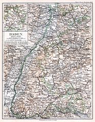
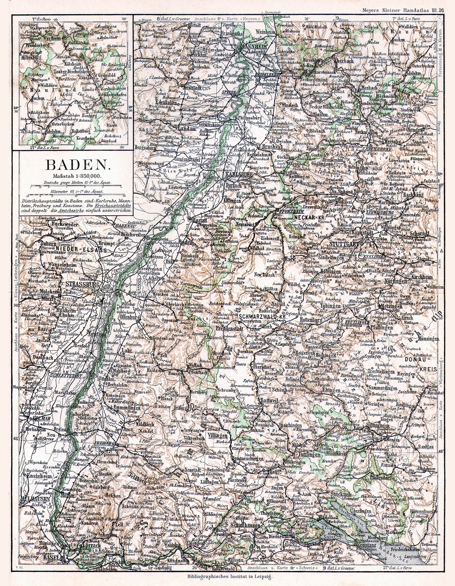
Deutsch: Karte des Königreiches Baden im Deutschen Reich vor 1900
English: Map of the Kingdom of Baden in the German Empire before 1900 |
||||
| Date | |||||
| Source | Meyers Kleiner Handatlas, Bl. 26 | ||||
| Author | Bibliographisches Institut | ||||
| Permission (Reusing this file) |
|
||||
| Other versions |
|
||||

File history
Click on a date/time to view the file as it appeared at that time.
| Date/Time | Thumbnail | Dimensions | User | Comment | |
|---|---|---|---|---|---|
| current | 10:33, 20 February 2007 | | 2,650 × 3,415 (2.79 MB) | Sidonius (talk | contribs) | sorry, habe aus versehen die datei mit falscher datei überschrieben |
| 10:27, 20 February 2007 |  | 2,536 × 2,708 (2.36 MB) | Sidonius (talk | contribs) | == Beschreibung == {{Information |Description={{de|Die Belagerung der Stadt Baden während der Eroberung des Aargaus durch die Eidgenossen 1415, Holzschnitt aus der Stumpfschen Chronik 1548}}{{en|The siege of Baden AG, Switzerland, during | |
| 21:37, 6 April 2005 |  | 2,650 × 3,415 (2.79 MB) | Kirk979 (talk | contribs) | Baden before 1900 |
You cannot overwrite this file.
File usage on Commons
The following page uses this file:
File usage on other wikis
The following other wikis use this file: