File:Balkans 4087 cut larisko.png

Size of this preview: 600 × 599 pixels. Other resolutions: 240 × 240 pixels | 481 × 480 pixels | 769 × 768 pixels | 1,025 × 1,024 pixels | 2,051 × 2,048 pixels | 3,510 × 3,505 pixels.
Original file (3,510 × 3,505 pixels, file size: 14.77 MB, MIME type: image/png)
Captions
Captions
Add a one-line explanation of what this file represents
Summary edit
| Description |
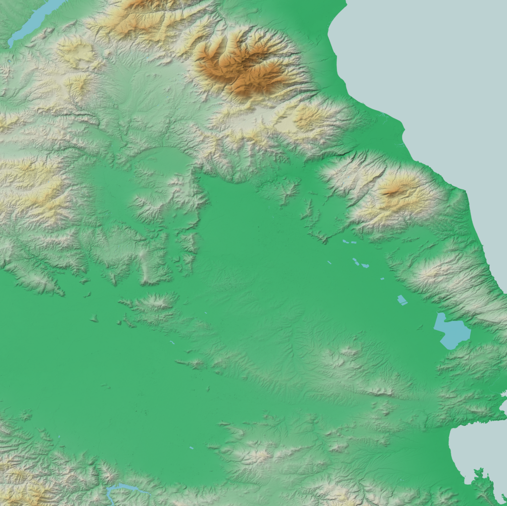
Български: релефна карта на Лариско в Гърция
English: map of Nom Larisa in Greece |
| Source | Own work |
| Author | Deyan Vasilev ( Dido3 ) |
| Permission (Reusing this file) |
Elevation data: "The original data used for this product have been supplied by JAXA’s AW3D." Water body polygons: "© OpenStreetMap Contributors, CC-BY-SA" |
Licensing edit
Deyan Vasilev ( Dido3 ), the copyright holder of this work, hereby publishes it under the following licenses:

|
Permission is granted to copy, distribute and/or modify this document under the terms of the GNU Free Documentation License, Version 1.2 or any later version published by the Free Software Foundation; with no Invariant Sections, no Front-Cover Texts, and no Back-Cover Texts. A copy of the license is included in the section entitled GNU Free Documentation License. |
This file is licensed under the Creative Commons Attribution-Share Alike 3.0 Unported, 2.5 Generic, 2.0 Generic and 1.0 Generic license.
Attribution: Deyan Vasilev ( Dido3 )
- You are free:
- to share – to copy, distribute and transmit the work
- to remix – to adapt the work
- Under the following conditions:
- attribution – You must give appropriate credit, provide a link to the license, and indicate if changes were made. You may do so in any reasonable manner, but not in any way that suggests the licensor endorses you or your use.
- share alike – If you remix, transform, or build upon the material, you must distribute your contributions under the same or compatible license as the original.
You may select the license of your choice.
File history
Click on a date/time to view the file as it appeared at that time.
| Date/Time | Thumbnail | Dimensions | User | Comment | |
|---|---|---|---|---|---|
| current | 11:40, 18 September 2022 | | 3,510 × 3,505 (14.77 MB) | Dido3 (talk | contribs) | == {{int:filedesc}} == {{Information |Description= {{bg|релефна карта на Лариско в Гърция}} {{en|map of Nom Larisa in Greece}} |Source={{own}} |Date= |Author=Deyan Vasilev ( Dido3 ) |Permission=Elevation data: "The original data used for this product have been supplied by JAXA’s AW3D." Water body polygons: "© OpenStreetMap Contributors, CC-BY-SA" |other_versions= }} == {{int:license-header}} == {{self|GFDL|cc-by-sa-3.0,2.5,2.0,1.0|author=Deyan Vasilev ( Dido3 )}... |
You cannot overwrite this file.
File usage on Commons
There are no pages that use this file.
File usage on other wikis
The following other wikis use this file:
- Usage on bg.wikipedia.org
- Аетолофос
- Темпейска долина
- Оса (планина)
- Царицани
- Фарсала
- Крания (дем Темпа)
- Камбуница
- Ливади (дем Еласона)
- Амбелонас
- Янота
- Макрихори (дем Темпа)
- Влахояни
- Амбелакия (дем Темпа)
- Гони (дем Темпа)
- Еласона
- Велика (дем Агия)
- Велишка крепост
- Сарандапоро (дем Еласона)
- Сотирица
- Дамаси (дем Тирнавос)
- Ориина крепост
- Енипей (река)
- Кранонас
- Елафос (дем Агия)
- Мавровуни (планина в Тесалия)
- Шаблон:ПК Лариско
- Мегаловрисо
- Метаксохори (дем Агия)
- Темпи
- Амар бей
- Долен Олимп
- Профитис Илияс (Палиоайлияс)
- Митрица
- Сулиотис (Камбуница)