File:Banga Plaza td (2018-12-26) 21.jpg

Size of this preview: 800 × 533 pixels. Other resolutions: 320 × 213 pixels | 640 × 427 pixels | 1,024 × 683 pixels | 1,280 × 853 pixels | 2,560 × 1,707 pixels | 5,472 × 3,648 pixels.
Original file (5,472 × 3,648 pixels, file size: 4.77 MB, MIME type: image/jpeg)
Captions
Captions
Add a one-line explanation of what this file represents
Summary
edit_21.jpg&action=edit§ion=1)
| Description |
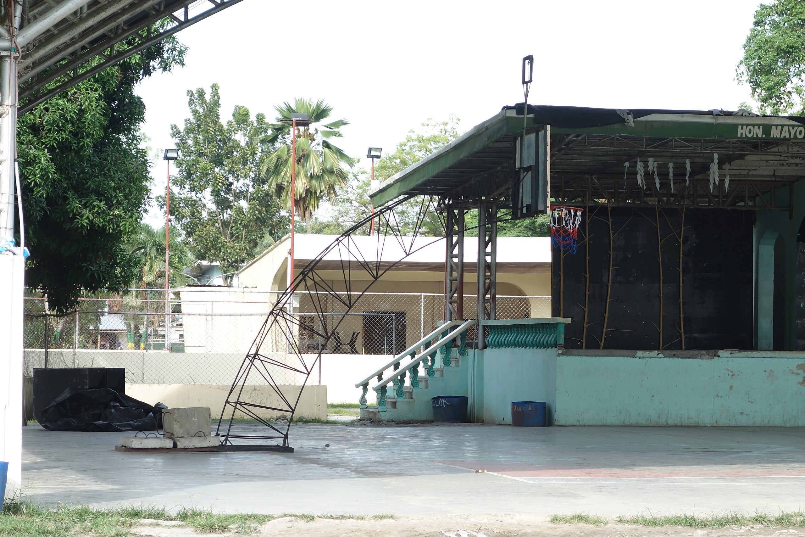
English: The sheltered basketball court and stage at the south end of the Banga Municipal Park, commonly called "The Plaza", between Quezon Avenue and Roxas Street in Banga, South Cotabato, Philippines. Pictured is the westernmost goal. The construction is typical of the Philippines, with numerous thin metal rods forming an arched stanchion. The rim, however, is a bit too short. On the other hand, it has a net. Take notes NYC Parks! |
| Date | |
| Source | Own work |
| Author | Tdorante10 |
| Camera location | | View this and other nearby images on: OpenStreetMap |
|---|
_21.jpg¶ms=006.422614_N_0124.776279_E_globe:Earth_type:camera__&language=en)
Licensing
edit_21.jpg&action=edit§ion=2)
I, the copyright holder of this work, hereby publish it under the following license:
This file is licensed under the Creative Commons Attribution-Share Alike 4.0 International license.
- You are free:
- to share – to copy, distribute and transmit the work
- to remix – to adapt the work
- Under the following conditions:
- attribution – You must give appropriate credit, provide a link to the license, and indicate if changes were made. You may do so in any reasonable manner, but not in any way that suggests the licensor endorses you or your use.
- share alike – If you remix, transform, or build upon the material, you must distribute your contributions under the same or compatible license as the original.
File history
Click on a date/time to view the file as it appeared at that time.
| Date/Time | Thumbnail | Dimensions | User | Comment | |
|---|---|---|---|---|---|
| current | 07:09, 3 January 2019 | | 5,472 × 3,648 (4.77 MB) | Tdorante10 (talk | contribs) | User created page with UploadWizard |
You cannot overwrite this file.
File usage on Commons
The following 2 pages use this file:
_21.jpg&oldid=873699604)