File:Barrage Sartigan 11.jpg
Size of this preview: 800 × 528 pixels. Other resolutions: 320 × 211 pixels | 640 × 423 pixels | 1,024 × 676 pixels | 1,280 × 846 pixels | 2,560 × 1,691 pixels | 5,141 × 3,396 pixels.
Original file (5,141 × 3,396 pixels, file size: 9.94 MB, MIME type: image/jpeg)
Captions
Captions
Add a one-line explanation of what this file represents
Summary
edit
| Description |
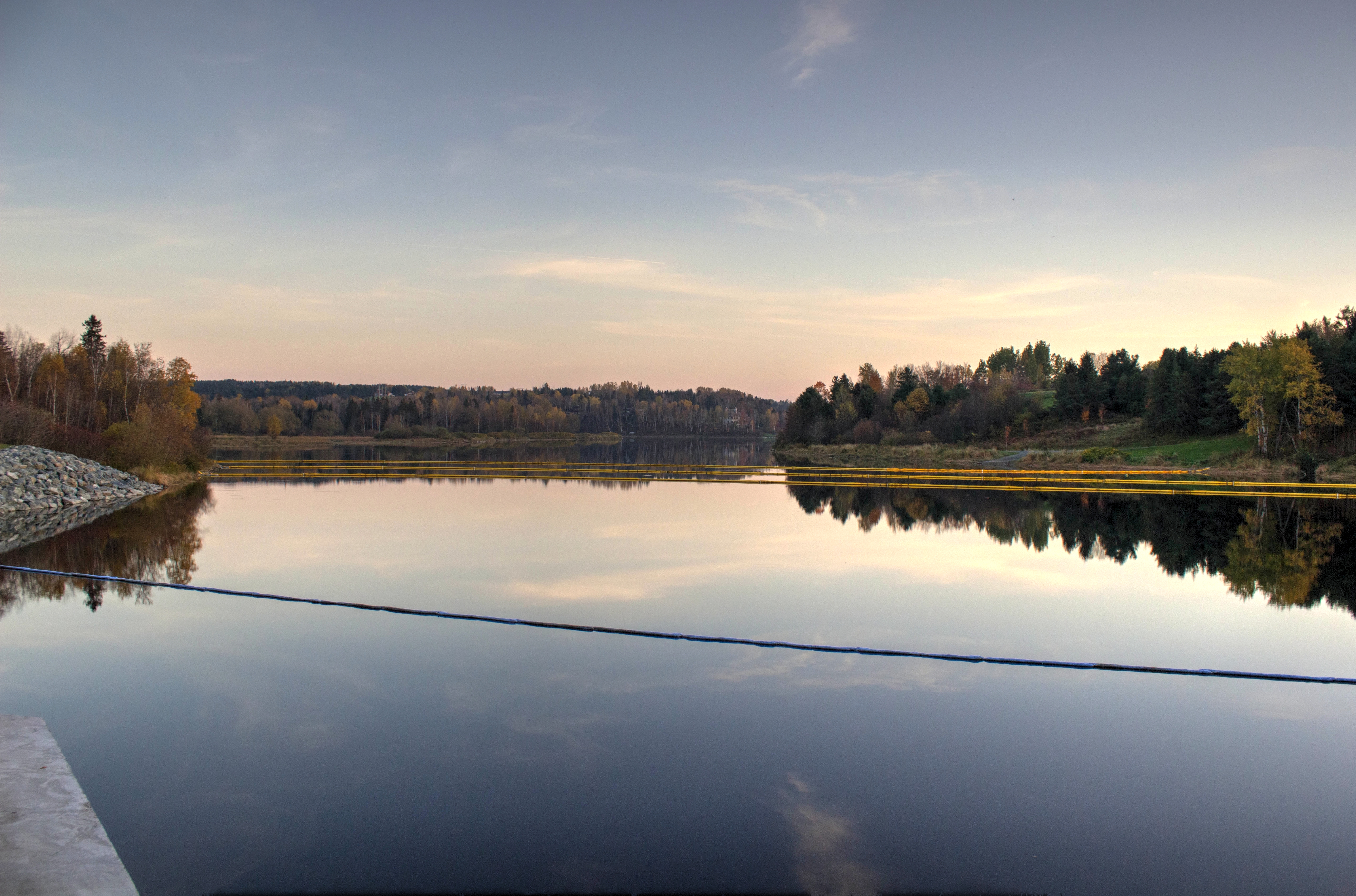
Français : Barrage Sartigan à Saint-Georges après la modernisation de 2009-2013. Photo HDR (3 photos). Des estacades (ici, les 3 lignes flottantes en jaune) ont été installées afin de contenir les déversements de contaminants dans la rivière suite à l'incident ferroviaire de Lac-Mégantic en 2013[1]. |
| Date | |
| Source | Own work |
| Author | SamuelFreli |
| Camera location | | View this and other nearby images on: OpenStreetMap |
|---|
References
edit
- ↑ Jean-Francois Fecteau. Le déversement dans la rivière Chaudière est maîtrisé selon le ministre Blanchet, En Beauce, 7 juillet 2013
Licensing
edit
I, the copyright holder of this work, hereby publish it under the following license:
This file is licensed under the Creative Commons Attribution-Share Alike 3.0 Unported license.
- You are free:
- to share – to copy, distribute and transmit the work
- to remix – to adapt the work
- Under the following conditions:
- attribution – You must give appropriate credit, provide a link to the license, and indicate if changes were made. You may do so in any reasonable manner, but not in any way that suggests the licensor endorses you or your use.
- share alike – If you remix, transform, or build upon the material, you must distribute your contributions under the same or compatible license as the original.
File history
Click on a date/time to view the file as it appeared at that time.
| Date/Time | Thumbnail | Dimensions | User | Comment | |
|---|---|---|---|---|---|
| current | 20:06, 9 April 2014 | | 5,141 × 3,396 (9.94 MB) | SamuelFreli (talk | contribs) | User created page with UploadWizard |
You cannot overwrite this file.
File usage on Commons
There are no pages that use this file.
File usage on other wikis
The following other wikis use this file:
- Usage on en.wikivoyage.org