File:Basic cartouche in the 1702 circumsailing world map by Scherer (2).jpg
Size of this preview: 255 × 599 pixels. Other resolutions: 102 × 240 pixels | 204 × 480 pixels | 749 × 1,759 pixels.
Original file (749 × 1,759 pixels, file size: 423 KB, MIME type: image/jpeg)
Captions
Captions
Add a one-line explanation of what this file represents
Summary
edit| Description |
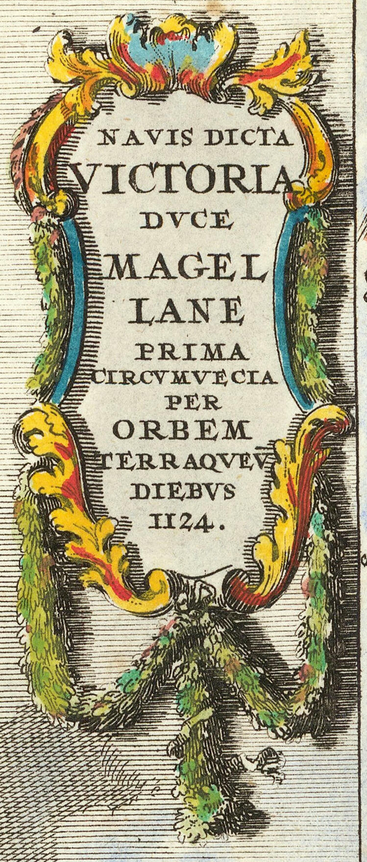
English: Repraesentatio Geographica Itineris Maritimi Navi Victoriae In Qua Ex Personis CCXXXVII Finita Navigatione… MDXXII
https://www.raremaps.com/gallery/detail/61987/repraesentatio-geographica-itineris-maritimi-navi-victoriae-scherer |
| Date | |
| Source | https://www.raremaps.com/gallery/detail/64703/typus-totius-orbis-terraquei-geographice-delineatus-et-ad-u-scherer |
| Author | Heinrich Scherer (Geograph) (1628–1704), deutscher Geograph und Naturforscher |
| Other versions |

.jpg&action=edit§ion=1)
Licensing
edit.jpg&action=edit§ion=2)
|
This work is in the public domain in its country of origin and other countries and areas where the copyright term is the author's life plus 70 years or fewer. This work is in the public domain in the United States because it was published (or registered with the U.S. Copyright Office) before January 1, 1929. | |
| This file has been identified as being free of known restrictions under copyright law, including all related and neighboring rights. | |
File history
Click on a date/time to view the file as it appeared at that time.
| Date/Time | Thumbnail | Dimensions | User | Comment | |
|---|---|---|---|---|---|
| current | 08:45, 15 November 2022 | | 749 × 1,759 (423 KB) | Enyavar (talk | contribs) | File:Repraesentatio Geographica Itineris Maritimi Navi Victoriae In Qua Ex Personis CCXXXVII Finita Navigatione.jpg cropped 92 % horizontally, 71 % vertically using CropTool with precise mode. |
You cannot overwrite this file.
File usage on Commons
The following page uses this file:
.jpg&oldid=817852237)