File:Basil Street area map.jpg
Size of this preview: 493 × 599 pixels. Other resolutions: 197 × 240 pixels | 533 × 648 pixels.
Original file (533 × 648 pixels, file size: 309 KB, MIME type: image/jpeg)
Captions
Captions
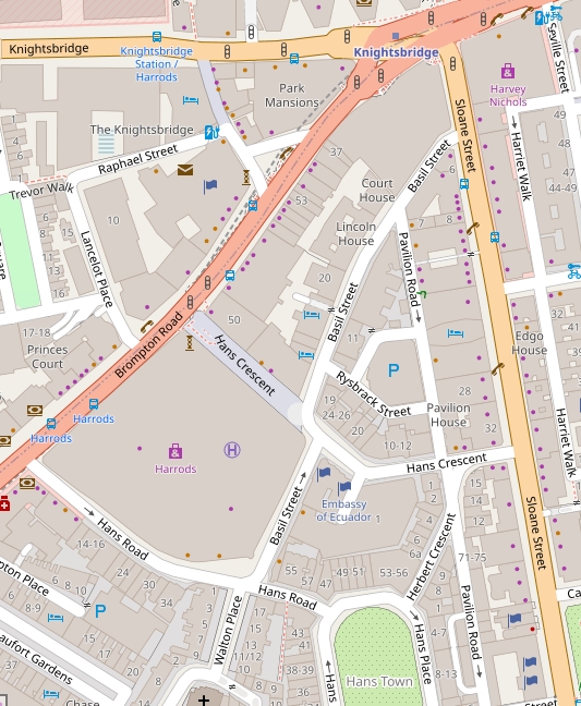
Basil Street area map
Summary
edit
| Description |
English: Basil Street area map |
| Date | |
| Source | https://www.openstreetmap.org/search?query=basil%20street#map=17/51.49992/-0.15887 |
| Author | Open Street Map contributors |
Licensing
edit
| This work contains information from OpenStreetMap, which is made available under the Open Database License (ODbL).
The ODbL does not require any particular license for maps produced from ODbL data. Prior to 1 August 2020, map tiles produced by the OpenStreetMap Foundation were licensed under the CC-BY-SA-2.0 license. Maps produced by other people may be subject to other licences. |
File history
Click on a date/time to view the file as it appeared at that time.
| Date/Time | Thumbnail | Dimensions | User | Comment | |
|---|---|---|---|---|---|
| current | 20:33, 26 September 2021 | | 533 × 648 (309 KB) | Philafrenzy (talk | contribs) | Uploaded a work by Open Street Map contributors from https://www.openstreetmap.org/search?query=basil%20street#map=17/51.49992/-0.15887 with UploadWizard |
You cannot overwrite this file.
File usage on Commons
The following 2 pages use this file:
File usage on other wikis
The following other wikis use this file:
- Usage on en.wikipedia.org