File:Bauer 1828.jpg
Size of this preview: 800 × 562 pixels. Other resolutions: 320 × 225 pixels | 640 × 449 pixels | 1,024 × 719 pixels | 1,280 × 899 pixels | 2,560 × 1,798 pixels | 3,774 × 2,650 pixels.
Original file (3,774 × 2,650 pixels, file size: 2.3 MB, MIME type: image/jpeg)
Captions
Captions
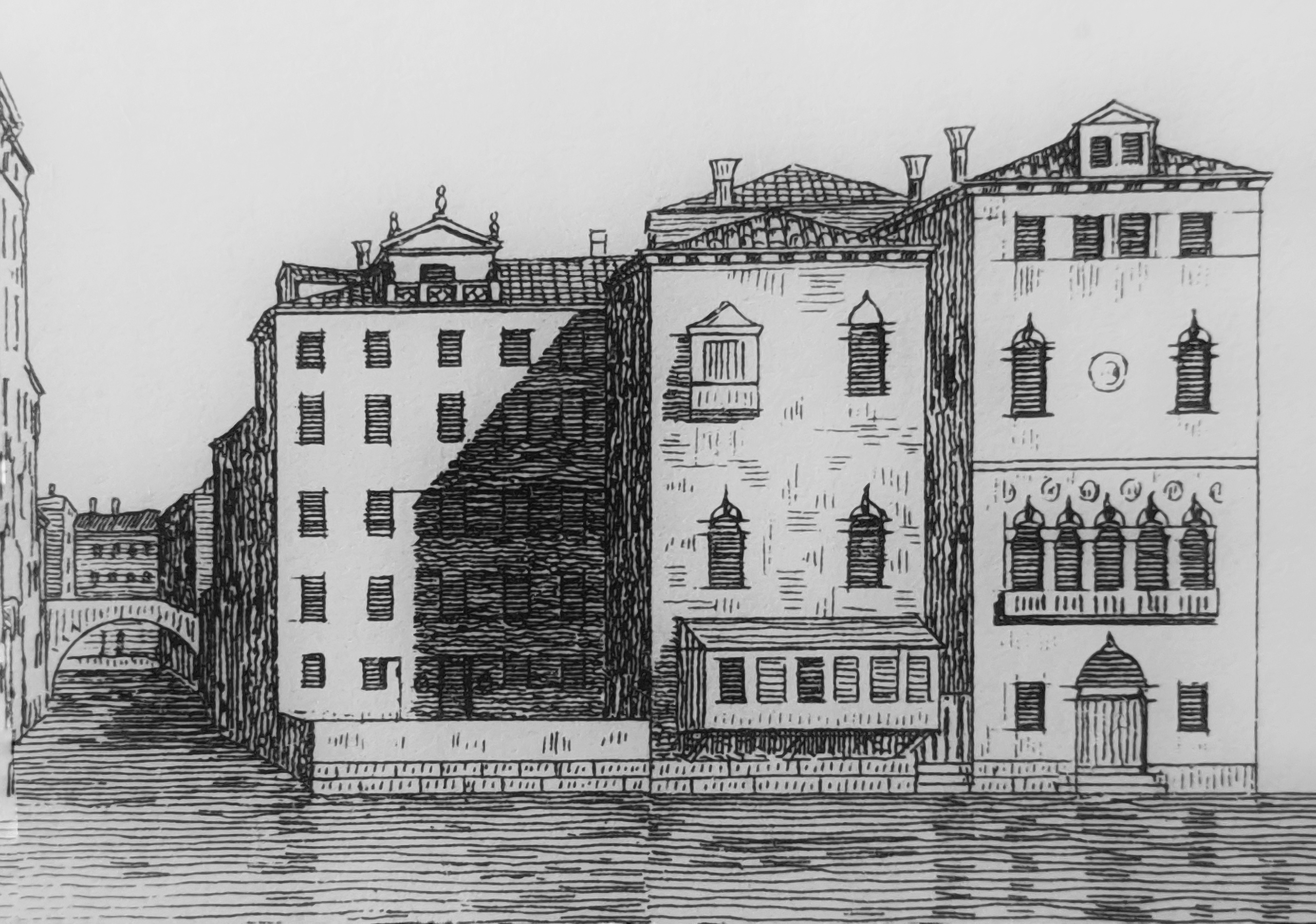
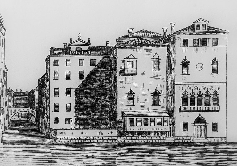
View of the site of the Bauer hotel in 1828
Summary
edit
| Description |
English: View of the site of the Bauer hotel in 1828, with the Grand Canal in the foreground and the Rio San Moisè on the left. These buildings were demolished in 1844-1900. |
| Date | |
| Source | Antonio Quadri, Dionisio Moretti, Il Canal Grande di Venezia descritto da Antonio Quadri (book), 1828 |
| Author | Dionisio Moretti |
| Camera location | | View this and other nearby images on: OpenStreetMap |
|---|
Licensing
edit
|
This work is in the public domain in its country of origin and other countries and areas where the copyright term is the author's life plus 70 years or fewer. This work is in the public domain in the United States because it was published (or registered with the U.S. Copyright Office) before January 1, 1929. | |
| This file has been identified as being free of known restrictions under copyright law, including all related and neighboring rights. | |
File history
Click on a date/time to view the file as it appeared at that time.
| Date/Time | Thumbnail | Dimensions | User | Comment | |
|---|---|---|---|---|---|
| current | 17:44, 14 May 2020 | | 3,774 × 2,650 (2.3 MB) | Macrakis (talk | contribs) | Uploaded a work by Dionisio Moretti from Antonio Quadri, Dionisio Moretti, Il Canal Grande di Venezia descritto da Antonio Quadri (book), 1828 with UploadWizard |
You cannot overwrite this file.
File usage on Commons
There are no pages that use this file.
File usage on other wikis
The following other wikis use this file:
- Usage on en.wikipedia.org