File:Bay Meadows Aerial Photo.jpg
Size of this preview: 800 × 461 pixels. Other resolutions: 320 × 184 pixels | 640 × 369 pixels | 1,024 × 590 pixels | 1,280 × 737 pixels | 2,481 × 1,429 pixels.
Original file (2,481 × 1,429 pixels, file size: 671 KB, MIME type: image/jpeg)
Captions
Captions
Bay Meadows Aerial Photo
Summary edit
| Description |
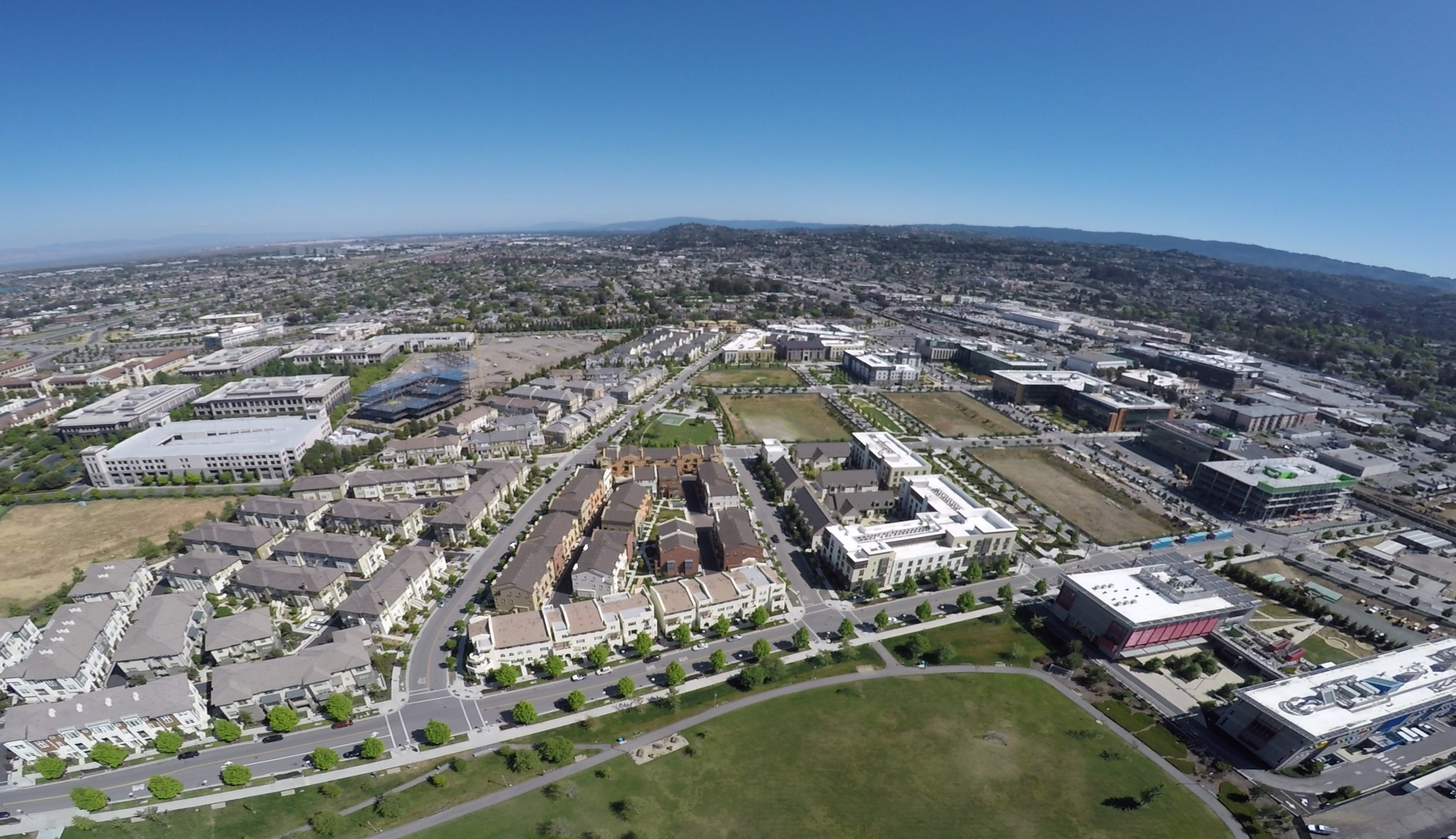
English: View of Bay Meadows looking south via drone above Bay Meadows Community Park. |
| Date | |
| Source | Drone pilot who created the image provided it under CC 4.0 license via email to uploader. Uploader cropped original image slightly. |
| Author | Raed Atawneh |
Licensing edit
This file is licensed under the Creative Commons Attribution-Share Alike 4.0 International license.
- You are free:
- to share – to copy, distribute and transmit the work
- to remix – to adapt the work
- Under the following conditions:
- attribution – You must give appropriate credit, provide a link to the license, and indicate if changes were made. You may do so in any reasonable manner, but not in any way that suggests the licensor endorses you or your use.
- share alike – If you remix, transform, or build upon the material, you must distribute your contributions under the same or compatible license as the original.
File history
Click on a date/time to view the file as it appeared at that time.
| Date/Time | Thumbnail | Dimensions | User | Comment | |
|---|---|---|---|---|---|
| current | 22:37, 19 February 2019 | | 2,481 × 1,429 (671 KB) | Ilgamoot (talk | contribs) | User created page with UploadWizard |
You cannot overwrite this file.
File usage on Commons
The following page uses this file:
File usage on other wikis
The following other wikis use this file:
- Usage on en.wikipedia.org
- Usage on www.wikidata.org