File:Bearwoodcote Crossing.jpg
No higher resolution available.
Bearwoodcote_Crossing.jpg (640 × 416 pixels, file size: 271 KB, MIME type: image/jpeg)
Captions
Captions
Add a one-line explanation of what this file represents
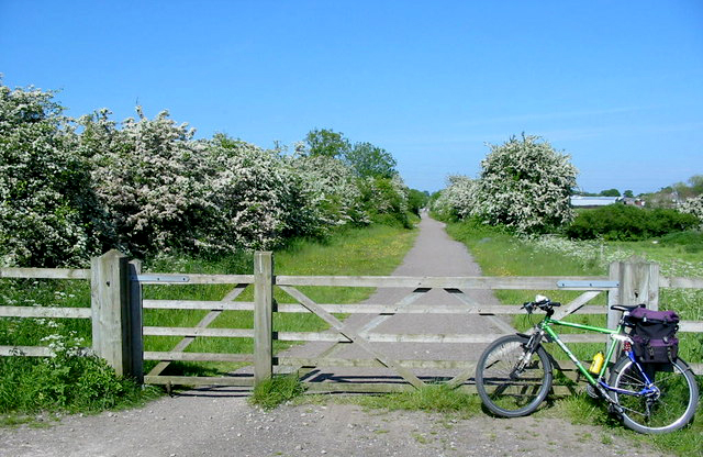
| Description | Bearwardcote Crossing on the former Burton to Derby railway serves Bearwardcote Farm. The line is now a very popular multiuser trail between Mickleover and Etwall. |
| Date | |
| Source |
This file was derived from: Bearwardcote 180470 8cb68528.jpg |
| Author | Mike Bardill |
| Other versions |
 |
| Camera location | | View this and other nearby images on: OpenStreetMap |
|---|
This file is licensed under the Creative Commons Attribution-Share Alike 2.0 Generic license.
Attribution: Mike Bardill
- You are free:
- to share – to copy, distribute and transmit the work
- to remix – to adapt the work
- Under the following conditions:
- attribution – You must give appropriate credit, provide a link to the license, and indicate if changes were made. You may do so in any reasonable manner, but not in any way that suggests the licensor endorses you or your use.
- share alike – If you remix, transform, or build upon the material, you must distribute your contributions under the same or compatible license as the original.
File history
Click on a date/time to view the file as it appeared at that time.
| Date/Time | Thumbnail | Dimensions | User | Comment | |
|---|---|---|---|---|---|
| current | 19:50, 18 August 2008 | | 640 × 416 (271 KB) | Ning-ning (talk | contribs) | {{Information |Description=Bearwardcote Crossing |Source=From [http://www.geograph.org.uk/photo/180470 geograph.org.uk] |Date=2006-06-02 |Author=[http://www.geograph.org.uk/profile/4790 Mike Bardill] |Permission=Creative Commons Attribution Share-alike li |
You cannot overwrite this file.
File usage on Commons
The following page uses this file:
File usage on other wikis
The following other wikis use this file:
- Usage on en.wikipedia.org
- Usage on nl.wikipedia.org