File:Bedlno (gmina) location map.png
Original file (2,031 × 1,954 pixels, file size: 530 KB, MIME type: image/png)
Captions
Captions
Summary
edit_location_map.png&action=edit§ion=1)
| Description |
English: Location map |
| Date | |
| Source | Own work |
| Author | Smat |
| Description |
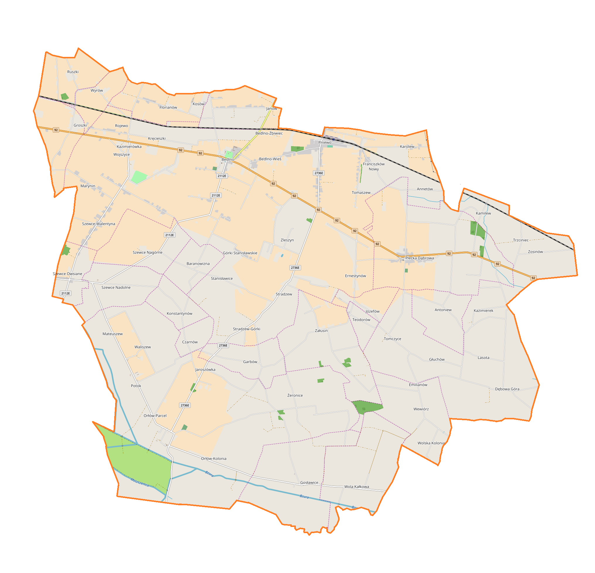
Polski: Mapa gminy Bedlno, Polska
English: Map of Bedlno (gmina), Poland |
|||||||||
| Date | ||||||||||
| Source | You may find a page on the OpenStreetMap wiki page for Bedlno (gmina) | |||||||||
| Creator |
OpenStreetMap contributors OpenStreetMap contributors |
|||||||||
| Permission (Reusing this file) |
OpenStreetMap data is available under the Open Database License (details). Map tiles are licensed under the Creative Commons Attribution-ShareAlike 2.0 license (CC-BY-SA 2.0).
This file is licensed under the Creative Commons Attribution-Share Alike 2.0 Generic license.
|
|||||||||
| Geotemporal data | ||||||||||
| Bounding box |
|
|||||||||
| Georeferencing | If inappropriate please set warp_status = skip to hide. | |||||||||
Licensing
edit_location_map.png&action=edit§ion=2)
| This work contains information from OpenStreetMap, which is made available under the Open Database License (ODbL).
The ODbL does not require any particular license for maps produced from ODbL data. Prior to 1 August 2020, map tiles produced by the OpenStreetMap Foundation were licensed under the CC-BY-SA-2.0 license. Maps produced by other people may be subject to other licences. |
File history
Click on a date/time to view the file as it appeared at that time.
| Date/Time | Thumbnail | Dimensions | User | Comment | |
|---|---|---|---|---|---|
| current | 12:12, 24 October 2017 | | 2,031 × 1,954 (530 KB) | Smat (talk | contribs) | User created page with UploadWizard |
You cannot overwrite this file.
File usage on Commons
There are no pages that use this file.
File usage on other wikis
The following other wikis use this file:
- Usage on pl.wikipedia.org
- Kręcieszki
- Kamilew (powiat kutnowski)
- Kazimierek
- Mateuszew
- Orłów-Kolonia
- Orłów-Parcel
- Plecka Dąbrowa
- Szewce Nadolne
- Szewce Nagórne
- Szewce Owsiane
- Szewce-Walentyna
- Wojszyce (wieś w województwie łódzkim)
- Wola Kałkowa
- Załusin
- Zleszyn
- Zosinów
- Bedlno (województwo łódzkie)
- Czarnów (województwo łódzkie)
- Ernestynów (województwo łódzkie)
- Florianów (powiat kutnowski)
- Groszki (województwo łódzkie)
- Jaroszówka (województwo łódzkie)
- Franciszków Nowy
- Pniewo (województwo łódzkie)
- Ruszki (województwo łódzkie)
- Tomczyce (województwo łódzkie)
- Waliszew (województwo łódzkie)
- Wyrów (województwo łódzkie)
- Żeronice (województwo łódzkie)
- Antoniew (powiat kutnowski)
- Dębowa Góra (powiat kutnowski)
- Emilianów (powiat kutnowski)
- Garbów (powiat kutnowski)
- Gosławice (powiat kutnowski)
- Józefów (powiat kutnowski)
- Konstantynów (powiat kutnowski)
- Potok (powiat kutnowski)
- Stanisławice (powiat kutnowski)
- Stradzew (powiat kutnowski)
- Janów (gmina Bedlno)
- Karolew (gmina Bedlno)
- Kujawki (Ernestynów)
- Żychlin (stacja kolejowa)
- Głuchów (powiat kutnowski)
- Wewiórz
- Wilkęsy (Antoniew)
- Annetów
- Zosinów (przystanek kolejowy)
- Klotyldów (Zosinów)
- Mirosławice (Mateuszew)
View more global usage of this file.
_location_map.png)
_location_map.png&oldid=819955093)