File:Beim 366 km langen Neckartalradweg, Holzbrücke über den Neckar bei Oberndorf - panoramio.jpg

Size of this preview: 800 × 588 pixels. Other resolutions: 320 × 235 pixels | 640 × 470 pixels | 1,024 × 752 pixels | 1,280 × 940 pixels | 2,560 × 1,881 pixels | 4,500 × 3,306 pixels.
Original file (4,500 × 3,306 pixels, file size: 5.6 MB, MIME type: image/jpeg)
Captions
Captions
Add a one-line explanation of what this file represents
Summary edit
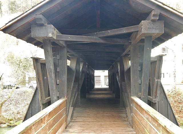
| Description | Beim 366 km langen Neckartalradweg: Holzbrücke über den Neckar bei Oberndorf | ||
| Date | Taken on 1 March 2015 | ||
| Source | https://web.archive.org/web/20161101063703/http://www.panoramio.com/photo/117337103 | ||
| Author | qwesy qwesy | ||
| Permission (Reusing this file) |
This file is licensed under the Creative Commons Attribution 3.0 Unported license. Attribution: qwesy qwesy
|
||
| Panoramio Tags | Oberndorf, 2015, Baden-Württemberg, best, Deutschland, Dietingen, Epfendorf, Oberndorf am Neckar, Rottweil, Sulz am Neckar, Villingendorf |
| Camera location | | View this and other nearby images on: OpenStreetMap |
|---|
File history
Click on a date/time to view the file as it appeared at that time.
| Date/Time | Thumbnail | Dimensions | User | Comment | |
|---|---|---|---|---|---|
| current | 16:38, 24 May 2017 | | 4,500 × 3,306 (5.6 MB) | Panoramio upload bot (talk | contribs) | == {{int:filedesc}} == {{Information |description=Beim 366 km langen Neckartalradweg: Holzbrücke über den Neckar bei Oberndorf |date={{Taken on|2015-03-01}} |source=http://www.panoramio.com/photo/117337103 |author=[http://www.panoramio.com/user/59628... |
You cannot overwrite this file.
File usage on Commons
There are no pages that use this file.