File:Beimen Station passage to Taipei City Mall 20141117.jpg

Size of this preview: 400 × 600 pixels. Other resolutions: 160 × 240 pixels | 320 × 480 pixels | 512 × 768 pixels | 683 × 1,024 pixels | 1,366 × 2,048 pixels.
Original file (1,366 × 2,048 pixels, file size: 190 KB, MIME type: image/jpeg)
Captions
Captions
Add a one-line explanation of what this file represents
Summary
edit
| Description |
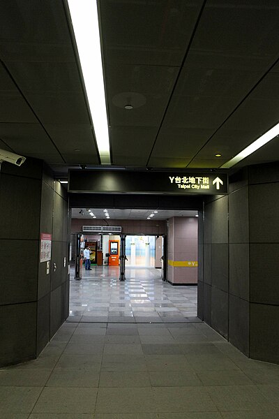
中文(臺灣):台北捷運北門站通往台北地下街1號廣場連通道。
English: The underground passage from Beimen Station, Taipei Metro to Plaza 1, Taipei City Mall. |
| Date | |
| Source | Own work |
| Author | 李家宇 |
| Camera location | | View this and other nearby images on: OpenStreetMap |
|---|
Licensing
edit
I, the copyright holder of this work, hereby publish it under the following license:
This file is licensed under the Creative Commons Attribution-Share Alike 4.0 International license.
- You are free:
- to share – to copy, distribute and transmit the work
- to remix – to adapt the work
- Under the following conditions:
- attribution – You must give appropriate credit, provide a link to the license, and indicate if changes were made. You may do so in any reasonable manner, but not in any way that suggests the licensor endorses you or your use.
- share alike – If you remix, transform, or build upon the material, you must distribute your contributions under the same or compatible license as the original.
File history
Click on a date/time to view the file as it appeared at that time.
| Date/Time | Thumbnail | Dimensions | User | Comment | |
|---|---|---|---|---|---|
| current | 15:50, 19 November 2014 | | 1,366 × 2,048 (190 KB) | Legoleehk (talk | contribs) | User created page with UploadWizard |
You cannot overwrite this file.
File usage on Commons
The following page uses this file:
- File:Taipei MRT Beimen station-Taipei city mall.JPG (file redirect)
File usage on other wikis
The following other wikis use this file:
- Usage on zh.wikipedia.org