File:Belarus blank map with districts (no regional cities).png
Size of this preview: 672 × 600 pixels. Other resolutions: 269 × 240 pixels | 538 × 480 pixels | 861 × 768 pixels | 1,147 × 1,024 pixels | 2,000 × 1,785 pixels.
Original file (2,000 × 1,785 pixels, file size: 722 KB, MIME type: image/png)
Captions
Captions
Add a one-line explanation of what this file represents
Summary edit
.png&action=edit§ion=1)
| Description |
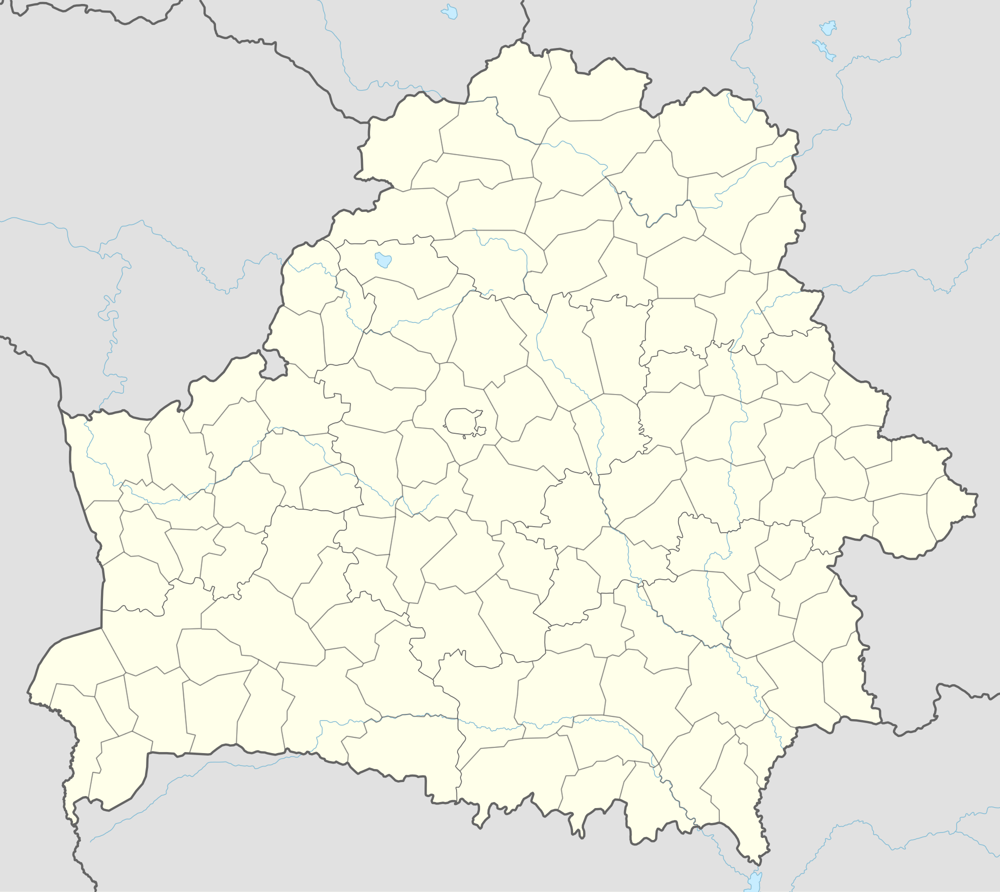
Русский: Административная карта Беларуси с границами районов, но без городов областного подчинения. English: Blank administrative map of Belarus with borders of regions (voblasti / oblasti) and districts (rayony), but without region-ruled (harady ablasnoha padparadkavannya / goroda oblastnogo podchineniya) cities, only with Minsk Беларуская: Адміністрацыйная карта Беларусі з межамі раёнаў, але без гарадоў абласнога падпарадкавання |
| Date | |
| Source | based on File:Belarus adm location map.svg (CC-BY-SA 3.0 de); derivative work: Own work |
| Author | original work by NordNordWest; derivative work by Homoatrox |
Licensing edit
.png&action=edit§ion=2)
I, the copyright holder of this work, hereby publish it under the following license:
This file is licensed under the Creative Commons Attribution-Share Alike 4.0 International license.
- You are free:
- to share – to copy, distribute and transmit the work
- to remix – to adapt the work
- Under the following conditions:
- attribution – You must give appropriate credit, provide a link to the license, and indicate if changes were made. You may do so in any reasonable manner, but not in any way that suggests the licensor endorses you or your use.
- share alike – If you remix, transform, or build upon the material, you must distribute your contributions under the same or compatible license as the original.
File history
Click on a date/time to view the file as it appeared at that time.
| Date/Time | Thumbnail | Dimensions | User | Comment | |
|---|---|---|---|---|---|
| current | 13:13, 26 January 2015 | | 2,000 × 1,785 (722 KB) | Homoatrox (talk | contribs) | User created page with UploadWizard |
You cannot overwrite this file.
File usage on Commons
There are no pages that use this file.
File usage on other wikis
The following other wikis use this file:
- Usage on ru.wikipedia.org
.png&oldid=820447418)