File:Belaya River, near the water intake Salavatnefteorgsintez.jpg
Size of this preview: 800 × 600 pixels. Other resolutions: 320 × 240 pixels | 640 × 480 pixels | 1,024 × 768 pixels | 1,280 × 960 pixels | 2,592 × 1,944 pixels.
Original file (2,592 × 1,944 pixels, file size: 1.09 MB, MIME type: image/jpeg)
Captions
Captions
Add a one-line explanation of what this file represents
Summary
edit
| Description |
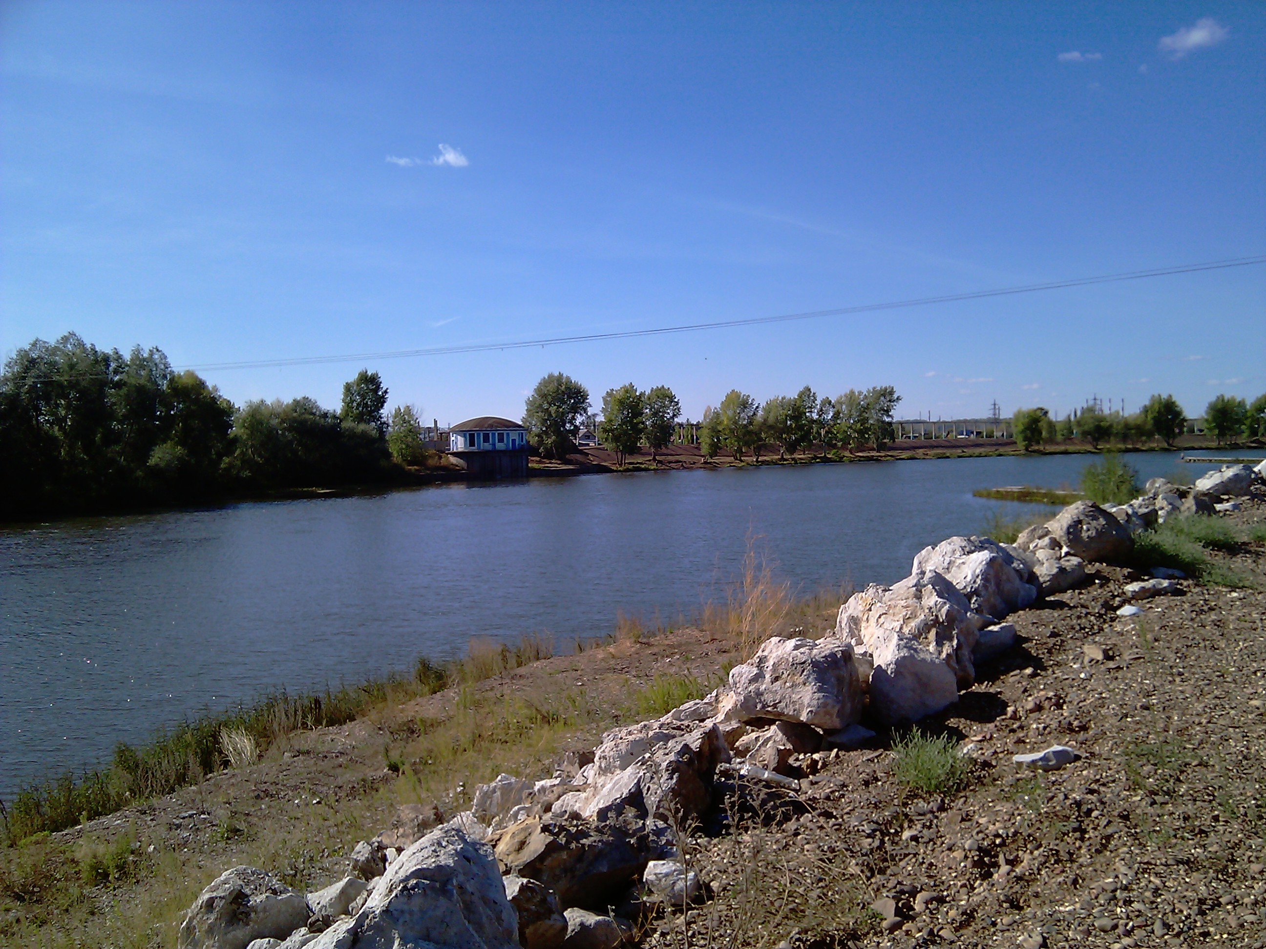
English: Belaya River, near the water intake Salavatnefteorgsintez. Hrvatski: Rijeka Belaja u blizini zahvata vode Salavatnefteorgsinteze. Русский: Белая река возле водозабора «Салаватнефтеоргсинтеза». |
| Date | |
| Source | река Белая, возле водозабора салаватнефтеоргсинтеза |
| Author | aptup |
| Camera location | | View this and other nearby images on: OpenStreetMap |
|---|
Licensing
edit
This file is licensed under the Creative Commons Attribution 3.0 Unported license.
- You are free:
- to share – to copy, distribute and transmit the work
- to remix – to adapt the work
- Under the following conditions:
- attribution – You must give appropriate credit, provide a link to the license, and indicate if changes were made. You may do so in any reasonable manner, but not in any way that suggests the licensor endorses you or your use.
| This image, which was originally posted to Panoramio, was reviewed on 25 December 2011 by the administrator or trusted user Morning Sunshine, who confirmed that it was available on Panoramio under the above license on that date. |
File history
Click on a date/time to view the file as it appeared at that time.
| Date/Time | Thumbnail | Dimensions | User | Comment | |
|---|---|---|---|---|---|
| current | 03:40, 25 December 2011 | | 2,592 × 1,944 (1.09 MB) | Vhorvat (talk | contribs) | {{Information |Description={{en|1=Belaya River, near the water intake Salavatnefteorgsintez.}}{{hr|Rijeka Belaja u blizini zahvata vode Salavatnefteorgsinteze.}}{{ru|Река Белая, возле водозабора салаватнефтеоргсин |
You cannot overwrite this file.
File usage on Commons
There are no pages that use this file.