File:Benchmark Tappi Japan 20220509.jpg

Size of this preview: 800 × 589 pixels. Other resolutions: 320 × 236 pixels | 640 × 471 pixels | 1,024 × 754 pixels | 1,280 × 942 pixels | 2,304 × 1,696 pixels.
Original file (2,304 × 1,696 pixels, file size: 3.65 MB, MIME type: image/jpeg)
Captions
Captions
Add a one-line explanation of what this file represents
Summary edit
| Description |
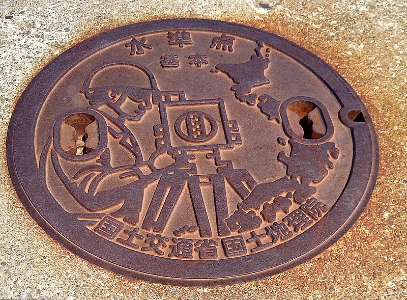
日本語: 龍飛岬の水準点 |
||
| Date | |||
| Source | Own work (Original text: own work) | ||
| Author | --[[利用者:あおもりくま|あおもりくま]](会話) 2022年5月13日 (金) 05:49 (UTC) | ||
| Permission (Reusing this file) |
|
| Camera location | | View this and other nearby images on: OpenStreetMap |
|---|
Licensing edit
--[[利用者:あおもりくま|あおもりくま]](会話) 2022年5月13日 (金) 05:49 (UTC), the copyright holder of this work, hereby publishes it under the following licenses:

|
Permission is granted to copy, distribute and/or modify this document under the terms of the GNU Free Documentation License, Version 1.2 or any later version published by the Free Software Foundation; with no Invariant Sections, no Front-Cover Texts, and no Back-Cover Texts. A copy of the license is included in the section entitled GNU Free Documentation License. |
This file is licensed under the Creative Commons Attribution-Share Alike 4.0 International license.
Attribution: --[[利用者:あおもりくま|あおもりくま]](会話) 2022年5月13日 (金) 05:49 (UTC)
- You are free:
- to share – to copy, distribute and transmit the work
- to remix – to adapt the work
- Under the following conditions:
- attribution – You must give appropriate credit, provide a link to the license, and indicate if changes were made. You may do so in any reasonable manner, but not in any way that suggests the licensor endorses you or your use.
- share alike – If you remix, transform, or build upon the material, you must distribute your contributions under the same or compatible license as the original.
You may select the license of your choice.
File history
Click on a date/time to view the file as it appeared at that time.
| Date/Time | Thumbnail | Dimensions | User | Comment | |
|---|---|---|---|---|---|
| current | 05:49, 13 May 2022 | | 2,304 × 1,696 (3.65 MB) | あおもりくま (talk | contribs) | {{Information |Description=龍飛岬の水準点 |Source=own work |Date=2022/05/09 |Location=青森県東津軽郡外ヶ浜町三厩龍浜/@41.2588059,140.342429,98m |Author=--~~~~ |Permission={{PD-self}} |other_versions= }} |
You cannot overwrite this file.
File usage on Commons
There are no pages that use this file.