File:Bend in the A417 - geograph.org.uk - 1412220.jpg
No higher resolution available.
Bend_in_the_A417_-_geograph.org.uk_-_1412220.jpg (640 × 480 pixels, file size: 79 KB, MIME type: image/jpeg)
Captions
Captions
Add a one-line explanation of what this file represents
Summary
edit
| Description |
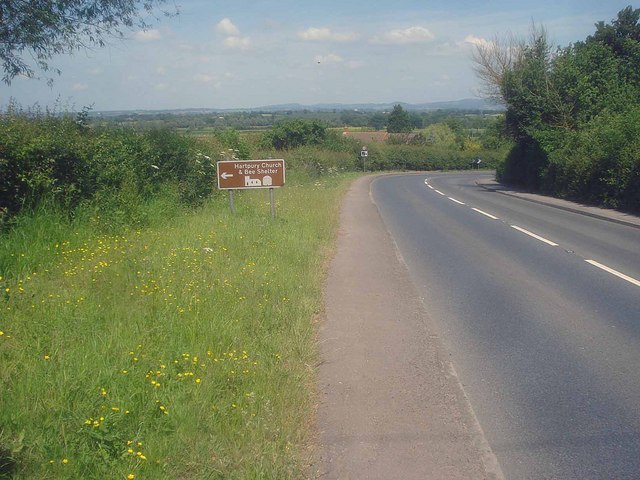
English: Bend in the A417 View northwards as the road descends to link the lower part of Hartpury village. The brown sign indicates that the "Hartpury Church and Bee Shelter" are along the next turning, which are well worth a visit. What it doesn't tell you is that it is a further two-and-a-half miles away. So the church is not quite at the village centre! Malvern Hills in the distance on the right. |
| Date | |
| Source | From geograph.org.uk |
| Author | Trevor Rickard |
| Attribution (required by the license) | Trevor Rickard / Bend in the A417 / |
| Camera location | | View this and other nearby images on: OpenStreetMap |
|---|
_heading:337.00&language=en)
| Object location | | View this and other nearby images on: OpenStreetMap |
|---|
_heading:337.00&language=en)
Licensing
edit

|
This image was taken from the Geograph project collection. See this photograph's page on the Geograph website for the photographer's contact details. The copyright on this image is owned by Trevor Rickard and is licensed for reuse under the Creative Commons Attribution-ShareAlike 2.0 license.
|
This file is licensed under the Creative Commons Attribution-Share Alike 2.0 Generic license.
Attribution: Trevor Rickard
- You are free:
- to share – to copy, distribute and transmit the work
- to remix – to adapt the work
- Under the following conditions:
- attribution – You must give appropriate credit, provide a link to the license, and indicate if changes were made. You may do so in any reasonable manner, but not in any way that suggests the licensor endorses you or your use.
- share alike – If you remix, transform, or build upon the material, you must distribute your contributions under the same or compatible license as the original.
- Remove redundant categories and try to put this image in the most specific category/categories
- Remove this template
- The location categories are based on information from this geonames tool and this OpenStreetMap tool combined with a database. You can also have a look at this tool from mysociety.
- The topic category from Geograph was Main road (find similar images road at Geograph)
File history
Click on a date/time to view the file as it appeared at that time.
| Date/Time | Thumbnail | Dimensions | User | Comment | |
|---|---|---|---|---|---|
| current | 15:11, 1 March 2011 | | 640 × 480 (79 KB) | GeographBot (talk | contribs) | == {{int:filedesc}} == {{Information |description={{en|1=Bend in the A417 View northwards as the road descends to link the lower part of Hartpury village. The brown sign indicates that the "Hartpury Church and Bee Shelter" are along the next turning, whic |
You cannot overwrite this file.
File usage on Commons
There are no pages that use this file.