File:Bennebroek osm.png
Size of this preview: 800 × 519 pixels. Other resolutions: 320 × 208 pixels | 640 × 415 pixels | 1,027 × 666 pixels.
Original file (1,027 × 666 pixels, file size: 361 KB, MIME type: image/png)
Captions
Captions
Add a one-line explanation of what this file represents
Summary
edit
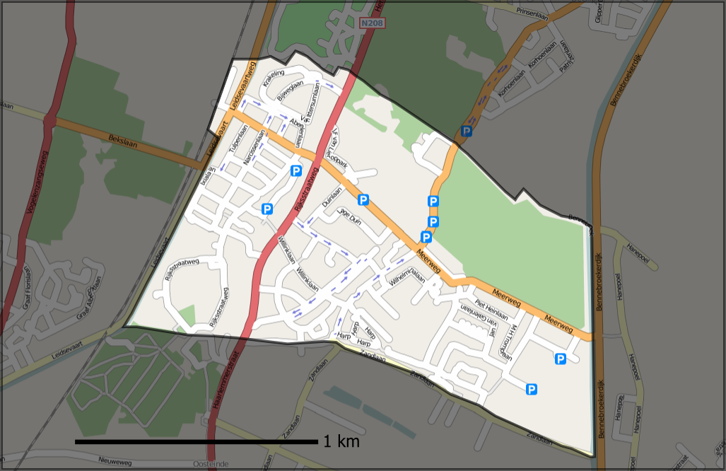
| Description | Openstreetmap.org map of municipality of Bennebroek (Netherlands), overlayed with its borders, also from OSM (but downloaded the raw data using JOSM and converted to svg). |
| Date | |
| Source | Own work, based on mapping from Openstreetmap.org ([1]) |
| Author | Contributors of the relevant openstreetmap.org data, User:Mtcv |
| Permission (Reusing this file) |
CC-BY-SA-2.0 |
Licensing
edit
This file is licensed under the Creative Commons Attribution-Share Alike 2.0 Generic license.
- You are free:
- to share – to copy, distribute and transmit the work
- to remix – to adapt the work
- Under the following conditions:
- attribution – You must give appropriate credit, provide a link to the license, and indicate if changes were made. You may do so in any reasonable manner, but not in any way that suggests the licensor endorses you or your use.
- share alike – If you remix, transform, or build upon the material, you must distribute your contributions under the same or compatible license as the original.
File history
Click on a date/time to view the file as it appeared at that time.
| Date/Time | Thumbnail | Dimensions | User | Comment | |
|---|---|---|---|---|---|
| current | 11:18, 21 October 2007 | | 1,027 × 666 (361 KB) | Mtcv (talk | contribs) | south border was wrong |
| 14:43, 9 October 2007 |  | 1,027 × 666 (367 KB) | Mtcv (talk | contribs) | {{Information |Description=Openstreetmap.org map of municipality of Bennebroek (Netherlands), overlayed with its borders, also from OSM (but downloaded the raw data using JOSM and converted to svg). |Source=Own work, based on mapping from Openstreetmap.or |
You cannot overwrite this file.
File usage on Commons
There are no pages that use this file.
File usage on other wikis
The following other wikis use this file:
- Usage on en.wikipedia.org
- Usage on fi.wikipedia.org
- Usage on nds-nl.wikipedia.org
- Usage on nl.wikipedia.org